Strategic Projects
Scanned image of thin section from Siilinjärvi apatite ore in cross polarised transmitted light. Actual sector size about 37 × 20 mm. Image: Kallerna via Wikimedia Commons
Each year, AuScope aims to fund a number of strategic projects through the AuScope Opportunity Fund (AOF) to explore the viability and usefulness of larger research infrastructure investments in the future and enable technological innovation across AuScope Programs.
Featured Projects
EarthDrone is a national drone infrastructure project that enables the remote deployment of lightweight fluxgate magnetometers for geomagnetic depth sounding (GDS). Designed for mineral exploration in remote or culturally sensitive areas, it offers a scalable, low-cost solution for mapping subsurface structures using drone swarms and long-period magnetic sensing.
The ‘EarthBank in the Classroom’ project will help fill an important gap when it comes to exposing young people to the many exciting aspects of geoscience, a discipline that is vital to the sustainable development of our planet.
The GLACI Infrastructure facility will provide deployed/telemetered and portable instruments to investigate glaciers and adjacent areas, including ice sheets, ice streams, and ice shelves.
This project, supported by the National Collaborative Research Infrastructure Strategy (NCRIS), aims to future-proof Australia’s valuable geophysical datasets by transforming them into formats compatible with high-performance computing (HPC).
This project aims to update outdated software across Ar-Ar laboratories in Australia to a unified open-source platform, enabling long-term accessibility, adaptability, and international compatibility.
This pilot will help build an open-access, online digital microscope and a microchemical analysis platform to study and analyse significant rock specimens in minute detail.
Novel Hyperspectral Mineral Mapping aims to upgrade the pre-existing SPEC-E Lab at ANU to facilitate the deployment of novel techniques which aim to produce unique mineral collections and subsequent spectral databases for researchers and industry.
SWAIS2C is a project under the International Continental Scientific Drilling Program (ICDP) that aims to acquire samples and data under the Ross Ice Shelf that are crucial for forecasting rising sea levels and monitoring associated impacts on coastal regions worldwide.
Development of new dating methods will help push the boundaries of geochronology. Through the installation of a new laser system at Adelaide Microscopy, earth scientists can enhance their analyses of geological materials at an unprecedented rate, providing new temporal frameworks to resource exploration.
The ‘Magnetometers-in-Schools’ project aims to develop a pilot outreach program for schools by deploying magnetometers and lesson plans to boost school curriculum in areas of Earth Science.
Groundwater sampling will receive a boost through the combined effort of the CSIRO and University of Adelaide’s noble gas facilities to contribute to the development of the AusGeochem database and subsequent research in water security and industry sectors.
The Geophysical Research Infrastructure for Antarctica (GRIT) project aims to advance Antarctic research by deploying specialised geophysical instrumentation tailored to the continent's extreme conditions.
Plate tectonics, volcanism, epeirogenic motions, hotspots, basin formation, episodes of mountain building, igneous intrusions, metamorphism — all are consequences of the flow of heat within the Earth at the mantle and lithosphere scale.
AuScope is unlocking new insights into geological processes crucial for accumulating critical mineral deposits via revolutionising Sr-isotope micro-analysis in a range of geological materials using cutting-edge laser ablation multi-collector mass spectrometry (LA-MC-ICP-MS).
Active Projects
EarthDrone is a national drone infrastructure project that enables the remote deployment of lightweight fluxgate magnetometers for geomagnetic depth sounding (GDS). Designed for mineral exploration in remote or culturally sensitive areas, it offers a scalable, low-cost solution for mapping subsurface structures using drone swarms and long-period magnetic sensing.
The ‘EarthBank in the Classroom’ project will help fill an important gap when it comes to exposing young people to the many exciting aspects of geoscience, a discipline that is vital to the sustainable development of our planet.
The GLACI Infrastructure facility will provide deployed/telemetered and portable instruments to investigate glaciers and adjacent areas, including ice sheets, ice streams, and ice shelves.
This project, supported by the National Collaborative Research Infrastructure Strategy (NCRIS), aims to future-proof Australia’s valuable geophysical datasets by transforming them into formats compatible with high-performance computing (HPC).
This project aims to update outdated software across Ar-Ar laboratories in Australia to a unified open-source platform, enabling long-term accessibility, adaptability, and international compatibility.
This pilot will help build an open-access, online digital microscope and a microchemical analysis platform to study and analyse significant rock specimens in minute detail.
Novel Hyperspectral Mineral Mapping aims to upgrade the pre-existing SPEC-E Lab at ANU to facilitate the deployment of novel techniques which aim to produce unique mineral collections and subsequent spectral databases for researchers and industry.
SWAIS2C is a project under the International Continental Scientific Drilling Program (ICDP) that aims to acquire samples and data under the Ross Ice Shelf that are crucial for forecasting rising sea levels and monitoring associated impacts on coastal regions worldwide.
Development of new dating methods will help push the boundaries of geochronology. Through the installation of a new laser system at Adelaide Microscopy, earth scientists can enhance their analyses of geological materials at an unprecedented rate, providing new temporal frameworks to resource exploration.
The ‘Magnetometers-in-Schools’ project aims to develop a pilot outreach program for schools by deploying magnetometers and lesson plans to boost school curriculum in areas of Earth Science.
Groundwater sampling will receive a boost through the combined effort of the CSIRO and University of Adelaide’s noble gas facilities to contribute to the development of the AusGeochem database and subsequent research in water security and industry sectors.
The Geophysical Research Infrastructure for Antarctica (GRIT) project aims to advance Antarctic research by deploying specialised geophysical instrumentation tailored to the continent's extreme conditions.
Plate tectonics, volcanism, epeirogenic motions, hotspots, basin formation, episodes of mountain building, igneous intrusions, metamorphism — all are consequences of the flow of heat within the Earth at the mantle and lithosphere scale.
AuScope is unlocking new insights into geological processes crucial for accumulating critical mineral deposits via revolutionising Sr-isotope micro-analysis in a range of geological materials using cutting-edge laser ablation multi-collector mass spectrometry (LA-MC-ICP-MS).
Delivered Projects
Mobilising Petrophysics around Australia enhances national engagement and open data delivery of the Mobile Petrophysical Laboratory (MPL), providing a mobile platform for measuring petrophysical properties on core samples.
Expanding our knowledge of Australia’s geological ‘architecture’ and mineral potential: Extensions to the National Argon Map
Geophysics 2030 developed a national, high resolution and fully integrated geophysical data collection, leveraging historical and contemporary datasets to enhance large scale data processing capabilities.
The Marine Heat Flow Measuring System (MHFMS) project aims to develop a method for measuring heat flow in ocean-floor sediments aboard Australia's Marine National Facility vessel, the RV Investigator, and the Australian Antarctic Division's icebreaker, the RSV Nuyina.
This project enhanced AuScope’s remote sensing data by making national-scale and space-enabled remote sensing data more accessible and useful for researchers, adhering to FAIR principles.
The Mapping Australia’s Crust In Four Dimensions (MAC4D) project aimed to enhance ANU's SHRIMP-II age-mass spectrometer's capabilities, enabling the measurement of multiple isotopes crucial for mapping Australia's crust in four dimensions. This initiative helped facilitate the creation of integrated isotope-age maps, aiding in the discovery of new critical minerals.
The WorldFAIR project evaluated global FAIR data policies and practices through a series of international case studies, with the aim of developing frameworks and recommendations to improve the accessibility, interoperability and reuse of research data.
Common Framework for Inference (CoFI) aims to address inference problems within Earth Sciences, irrespective of size and scope, by capturing inherent commonalities present in all types of inverse problems, independent of the specific methods employed to solve them.
The AGN+ project piloted the expansion of the AuScope Geochemistry Network (AGN) through the addition of several new university geochemistry analytical facilities to enhance accessibility to key geochemical data sets.
G-Adopt is a platform that integrates observational data with dynamics, physics, and chemistry. It leverages recent advancements in datasets and inversion methods to enhance geoscientific modelling.
Land-2-Sea Geoscience (L2SG) project focuses on deploying innovative drilling technology to contribute to the global scientific understanding of Antarctic ice dynamics.
The GPlates App is a powerful tool that enables users to reconstruct and visualise spatial data through geological time. Built on top of the acclaimed plate reconstruction software, the App benefits from the feature-rich web APIs and the flexible software architecture of its underlying technology.
The Critical Zone is the surface environment where complex interactions between soil, water, air, and organisms help regulate natural ecosystems and life-sustaining resources.
Securing advanced analytical technology for novel minerals exploration research
The Australian Atom Trap Trace Analysis (ATTA) is a state-of-the-art sovereign facility for measuring noble gas radioisotope concentrations better than parts per trillion. It enables the full understanding of groundwater systems, with a strong focus on provenance and residence time.
Funding opportunities
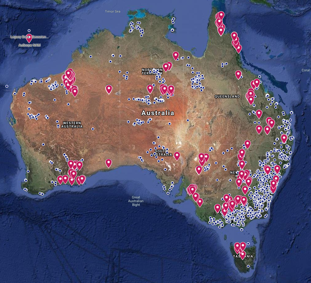
AuScope funds research infrastructure projects that support Earth and geospatial science research in Australia through NCRIS, the National Collaborative Research Infrastructure Strategy. This includes significant investments through the Research Infrastructure Investment Plan (RIIP) process, as well as smaller investments through the annual AuScope Opportunity Fund.
In the Media
A state of the art Vadose-zone Monitoring System (VMS) has been successfully installed at the University of Western Australia (UWA) Ridgefield Farm, near Pingelley in Western Australia, marking a significant milestone for high-tech agricultural monitoring in Australia.
The next round of proposals will close on 30 May 2026. Submissions can be made at any time.
SEARCH BY KEYWORD
LEARN MORE
If you would like to know more
about the AuScope Opportunity Fund,
please visit the funding page or contact Dr Tim Rawling
STRATEGIC PROJECT NEWS
Please visit our News page or
sign up to our Quarterly News