
Loop - Improving Usability and User Experience of Loop3D
Loop: Enabling Stochastic 3D Geological Modelling. Image: AuScope
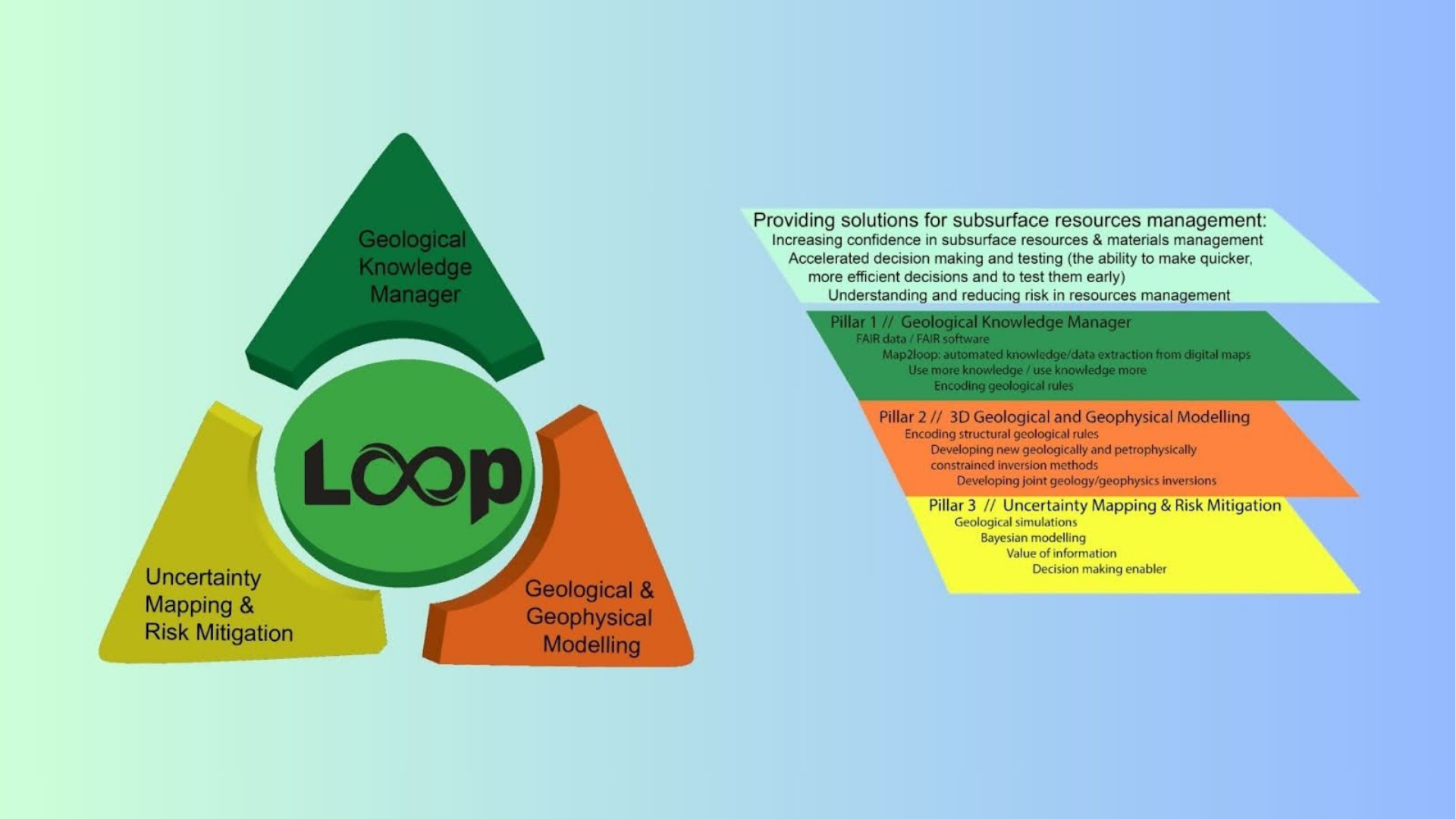
The Loop project, under the auspices of OneGeology and funded through the ARC Linkage program in collaboration with State, Territory, and Federal Geological Survey organisations and the MinEx CRC, aimed to develop an open-source, 3D geological and geophysical modelling platform to address uncertainty mitigation and resource management.
Overview
The "Improving usability and user experience of Loop3D" project was a collaborative effort between AuScope and Monash University to enhance the Loop geological modelling platform. The initiative focused on transforming sophisticated research code into a user-friendly, interactive tool for the geoscience community. By building a modern interface, the project bridged the gap between advanced computational modelling and everyday geological practice.
The Challenge
While the Loop platform offers powerful 3D modelling capabilities, its previous libraries required users to be highly proficient in Python programming. This technical barrier prevents many geoscientists—who may prefer visual tools to coding—from adopting the software. Without a graphical interface, the platform remained difficult for the broader community to test, use, and integrate into their standard workflows.
Outcomes
Transitioned the platform from a code-heavy environment to an intuitive, visual web application. By making the interface user-friendly, the project enabled a much broader range of professionals to focus on geology rather than programming.
Integrated real-time 3D visualisation directly into the user interface. This allowed geologists to visualise their maps and data, making it easier to identify errors and perform quality checks. This instant feedback enabled better decision-making in resource management and the mitigation of geological uncertainty.
Providing the software as a local program, a Docker container, and a cloud-hosted web app. This allowed users to test models on their personal computers or scale up to powerful remote servers for complex, data-heavy tasks. It ensured that advanced modelling remained accessible to organisations regardless of their local hardware capabilities.
Established a dedicated group of stakeholders, including researchers and geological survey representatives, to guide the project. By involving end users in beta testing and design, the project ensures the software is built to solve real-world problems. This direct line of communication ensures the tool remains relevant and useful for the people who need it most.
Who will benefit?
The project benefitted a wide range of shareholders and partners across the geoscience and research communities. By modernising legacy datasets into HPC-compatible formats, it empowers researchers, data scientists and government agencies - such as Geoscience Australia, State and Territory Geological surveys, and University Teams - to conduct high-resolution and data-intensive analyses at continental scales.
Access
GitHub Repository: All core libraries and software remain open source and are publicly hosted on GitHub (github.com/loop3d).
Software Applications: The interface will be available as a desktop application and as a QGIS plugin.
Online Modelling Server: A cloud-based server will be available to provide scalable online modelling capabilities.
Docker Containers: The webapp will be released as a Docker container for easy installation and deployment.
Project Name
Loop - Improving Usability and User Experience of Loop3D
Project Lead

Timeframe
2023 - 2024
Status
Completed
Funding
Pilot 4
Host
Monash University
Other Collaborators
ARC Linkage Program
State, Territory, and Federal Geological Surveys
MinEX CRC
AuScope Program

Acknowledging AuScope & NCRIS
This project was made possible by support from the National Collaborative Research Infrastructure Strategy (NCRIS) via AuScope.
Acknowledging AuScope and NCRIS helps us demonstrate the value of shared research infrastructure, ensuring continued support and resources for the research community.
For examples of acknowledgment, please visit our ‘How to Acknowledge AuScope’.
We’d love to see your work—please tag us on social media using:
@auscope | #AuScopeImpact | #NCRISimpact