
From Fireball Cameras to Universal Platforms
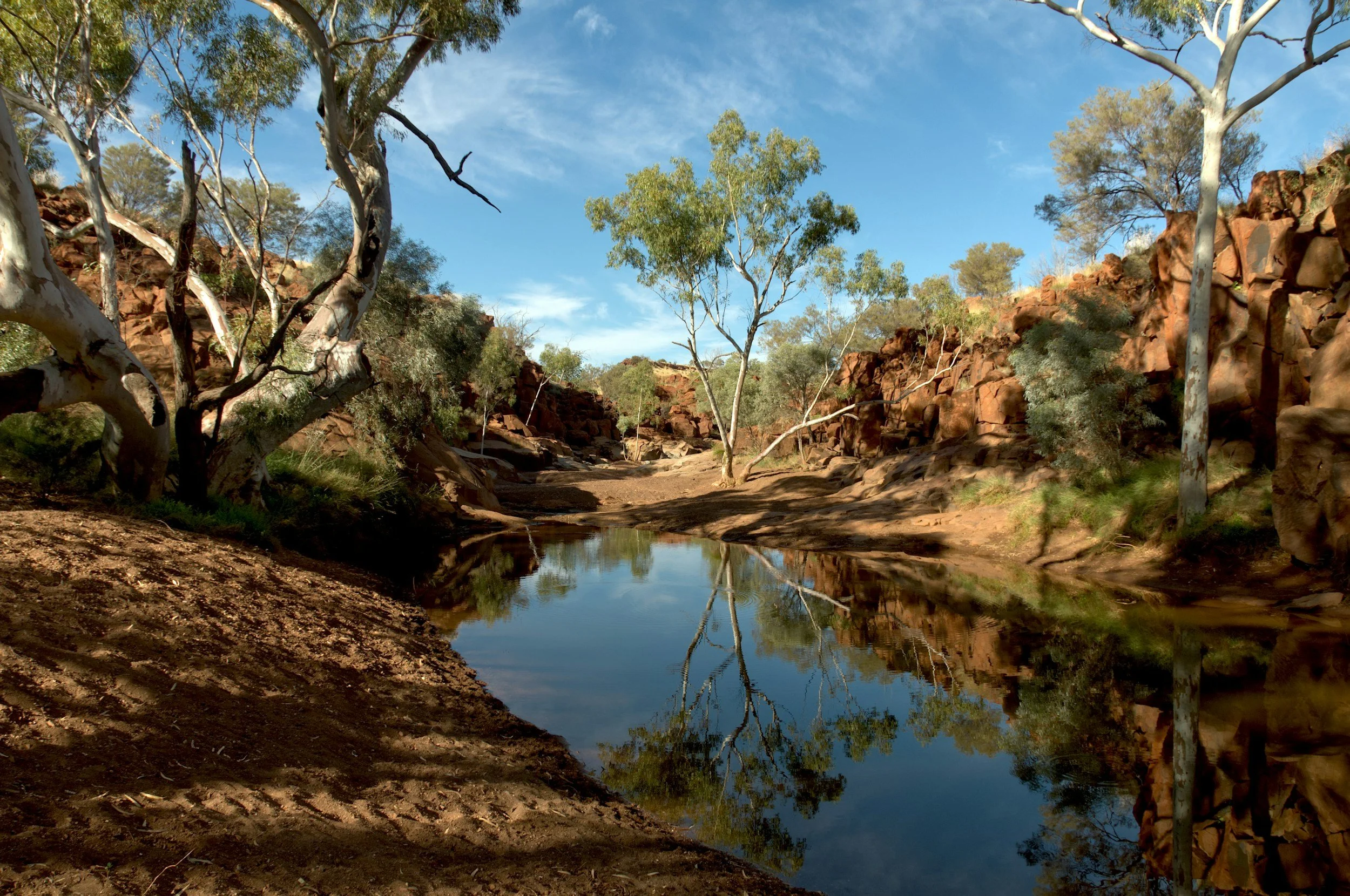
Australian Outback. Image: René Riegal
Australia's vast remote landscapes pose identical challenges for researchers studying everything from geology to wildfires to wildlife. A Universal Remote Platform that hosts multiple scientific instruments across shared sites dramatically reduces costs and complexity.
Overview
Led by Dr Eleanor Sansom and Benjamin Hartig from Curtin University, this project aims to draw on over 10 years of proven expertise from the Australian Desert Fireball Network (DFN) to consolidate remote sensing sites that could serve multiple research disciplines simultaneously. The DFN currently serves the planetary science, astronomy, and meteorite research communities worldwide and engages with users at 22 global institutions, including Curtin University, ANU, Monash, and USQ.
This project proposes a feasibility study to develop the preliminary design of a Universal Remote Platform: a standardised, modular infrastructure platform that can support diverse scientific instruments while addressing common operational challenges. In research projects that manage large-scale distributed instruments, collaborative approaches are essential for sustainable, scalable data collection. This project also includes partnering with the Indigenous aerospace company Gunggandji Aerospace to create local employment opportunities and to address the Community, Culture, and Collaboration elements of AuScope's Downward Looking Telescope vision.
The Challenge
Australia's vast and remote landscapes present unique challenges for scientific data collection across multiple disciplines. From geoscience exploration and astronomical observations to bushfire monitoring and wildlife tracking, numerous research groups face similar operational hurdles: extreme environmental conditions, complex logistics, power and communication constraints, remote operations and the burden of maintaining equipment in inhospitable locations.
Instead of each researcher building isolated, expensive installations, this concept study will scope out how different instruments could share robust, professionally-managed sites with reliable power, communications, and data systems.
Expected Outcomes
Deliver a feasibility study that defines the technical, operational and community requirements for a national Universal Remote Platform.
Produce a preliminary systems architecture and engineering design that supports shared, multi‑disciplinary sensing in remote regions.
Develop a functional software prototype enabling secure, efficient remote monitoring, control and data management.
Establish a co‑designed Indigenous partnership and workforce development framework led by Gunggandji Aerospace.
Provide a detailed implementation roadmap outlining deployment stages, costs, governance and future investment pathways.
Position partners for future NCRIS investment plans, ARC proposals and potential commercial opportunities in remote operations and data services.
What are the benefits?
Improved Operational Capability: Consolidating multiple research instruments onto a shared remote management platform will help lower operational costs across research faculties, including enhanced data reliability and quality through standardised communications, environmental protection and monitoring systems.
Improved Community Capability: Consolidation of research infrastructure will strengthen national research capability by enabling multi‑disciplinary sensing across geoscience, astronomy, environmental monitoring, emergency management and more. This includes creating Indigenous employment and training pathways through a co‑designed operations model led by Gunggandji Aerospace.
Potential for Commercialisation: Incorporating academic and industry partnerships at the feasibility stage will help validate and scope a platform-as-a-service approach, with the potential to license remote infrastructure management to the mining, agriculture, space, and telecommunications industries.
Who will benefit
Several communities will benefit from this project, including:
National Research Communities: research providers across geosciences, astronomy, weather, environmental monitoring, and public health will have improved access to data, including reduced deployment costs from sharing infrastructure.
Government agencies: departments that rely on remote monitoring and sensing will benefit from coordinated infrastructure and data management.
Indigenous Communities: This project aims to support Indigenous employment, training, co‑design opportunities and long‑term operational roles, led by Gunggandji Aerospace.
Industry Partners: companies across mining, agriculture, space and telecommunications may benefit from future platform‑as‑a‑service models and value‑added environmental or geological data products.
Emergency and Disaster Resilience Organisations: coordinated systems will help build early-warning monitoring capabilities for wildfires, weather or geohazards.
Access
More information to be provided once the scoping plan has been finalised by the team.
Project Name
From Fireball Cameras to Universal Platforms
Project Lead
Dr Eleanor Sansom
Benjamin Hartig
Timeframe
Jan 2026 to Jun 2027
Status
Active
Funding
Pilot 5
Host
Curtin University
Other Collaborators
Gunggandji Aerospace
AuScope Programs
Autonomous Sensing (AS)
Acknowledging AuScope
This project was made possible by support from the National Collaborative Research Infrastructure Strategy (NCRIS) through AuScope. Acknowledging AuScope and NCRIS helps us demonstrate the value of shared research infrastructure, ensuring continued support and resources for the research community.
If you helped deliver this project or have benefited from its outputs, please credit AuScope so we can include your work in our impact reporting. For examples of acknowledgment, please visit our ‘How to Acknowledge AuScope’ page.
We’d love to see your work—please tag us on social media using:
@auscope | #AuScopeImpact | #NCRISimpact