
The National Argon Map (NAM)
ArCSIRO Energy personnel using an NCRIS enabled fibre optic sensor (via AuScope’s Subsurface Observatory) to measure the temperature in a MinEx CRC National Drilling Initiative drill hole in the East Tennant region of the Northern Territory in December 2020. Image: Dr Ludovic Ricard
The National Argon Map (NAM) aimed to enhance our understanding of Australia's geological architecture and mineral potential by building a national Ar/Ar dataset that informs us about the continent's thermal history.
Overview
Starting in January 2020, the NAM Pilot Project, led by Dr Marnie Forster at ANU and overseen by Dr Geoff Fraser of Geoscience Australia, leveraged the National Argon Network's infrastructure to measure 320 samples.
With infrastructure valued at over $10M, the project sought to demonstrate the feasibility of a larger three-year initiative supported by AuScope and MinEX CRC, encouraging in-kind contributions and broad community support.
The Challenge
The development of the Isotopic Atlas of Australia revealed that Ar/Ar geochronology had significantly fewer data than U-Pb chronology. These gaps led to the development of the National Argon Map (NAM) project.
Ar/Ar can produce age data across diverse geological scenarios and mineral types to aid resource exploration. In particular, NAM's aim to develop a comprehensive understanding of the thermal history of the Australian continent requires precise Ar/Ar measurements integrated with existing low-temperature thermochronology datasets.
Outcomes
Key outcomes of the NAM Pilot Project include:
Establishing a comprehensive and FAIR national Ar/Ar dataset that offers valuable insights into the medium-high temperature thermal history of the Australian continent.
Providing a better understanding of the tectonic architecture of Australia through the analysis of thermal evolution.
Facilitating sustainable basin management strategies based on the newfound knowledge of the continent's thermal history.
Enabling the discovery of potential energy and mineral resource systems by identifying geological patterns and anomalies.
Fostering collaboration and support from the scientific community, including MinEx, surveys, and academia.
Demonstrating the feasibility and scalability of the project for future phases of AuScope or in collaboration with the MinEX CRC.
Who will benefit?
The project's data and findings will benefit researchers, geothermal energy developers, groundwater management professionals, and the mineral exploration industry.
Access
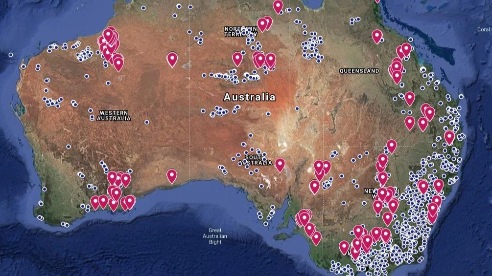
Data Access: Data from NAM can be accessed via their map, which is located at National Argon Map - Argon Geochronology - ANU
Project Name
The National Argon Map (NAM) Pilot Project
Project Lead
Dr Marnie Foster
Timeframe
2021 to 2023
Status
Completed
Funding
AuScope Pilots 1
Partners
Geoscience Australia
Curtin University
Glencore
University of Western Australia
University of South Australia
Geological Survey of South Australia (GSSA)
AuScope Programs

This project was made possible by support from the National Collaborative Research Infrastructure Strategy (NCRIS) through AuScope. Acknowledging AuScope and NCRIS helps us demonstrate the value of shared research infrastructure, ensuring continued support and resources for the research community. For examples of acknowledgement, please visit our How to Acknowledge AuScope page.
We’d love to see your work—please tag us on social media using:
@auscope | #AuScopeImpact | #NCRISimpact