
EarthDrone: National Drone Infrastructure for the Earth
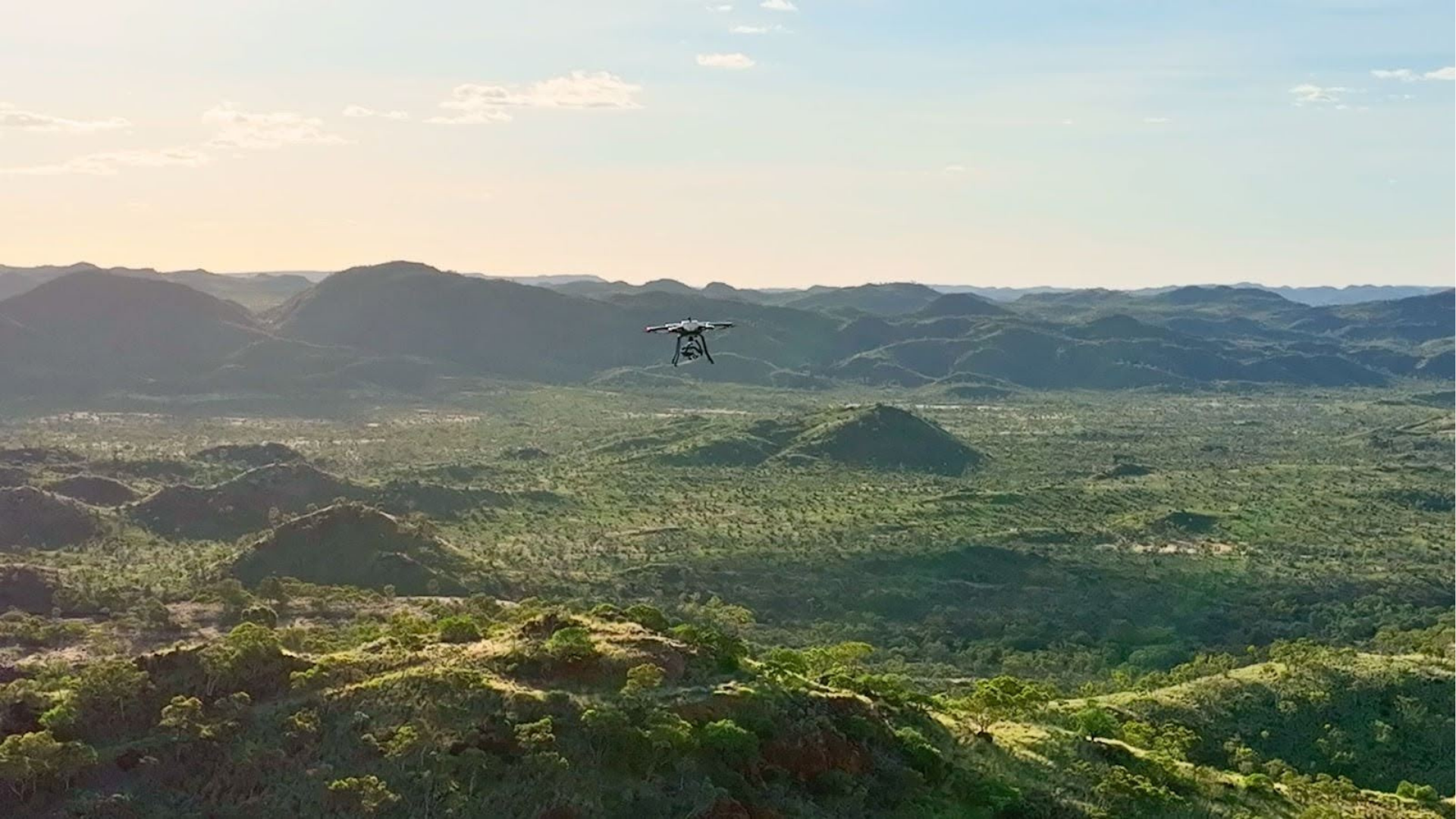
Acecore NOA carrying the Hyspex Mjolnir Hyperspectral camera, conducting oblique scans of the Mary Kathleen Pit during our M4Mining field campaign in April/May. Still from video: Mary Kathleen
This project aims to revolutionise Earth observation using drones equipped with advanced geophysical sensors across vast, remote regions of Australia, including its Antarctic territories. By bridging the gap between satellite and ground-based data collection, the initiative seeks to enhance our understanding of deep Earth structures, active fault lines, distributions of critical metals, groundwater levels in the critical zone, and geomorphological changes.
Overview
Led by Assoc Prof Steven Micklethwaite, this national initiative will deploy drones equipped with a variety of sensors (including LiDAR, thermal, RGB, hyperspectral, magnetic, gravity, and magnetotelluric) to conduct high-resolution Earth observation over expansive and inaccessible terrain.
The project will integrate drone technology across multiple National Collaborative Research Infrastructure Strategy (NCRIS) platforms to enhance research in geological, ecological, agricultural, and marine sciences.
The Challenge
Australia's vast and remote landscapes present logistical and technological challenges for comprehensive Earth observation. Current limitations in high-end drone equipment, national aviation regulations, and sensor availability hinder the Earth science community's ability to effectively collect and analyse large-scale remote sensing data.
Expected Outcomes
Establishment of a national drone-based Earth observation infrastructure with vertical take-off and landing capabilities (VTOL)
Creation of a community of practice among existing and emerging drone Earth science centres and NCRIS platforms
Development of best-practice guidelines for drone deployment and data standards in Earth sciences
What are the benefits?
VTOL drones enable rapid, repeatable, and safe acquisition of fine‑scale Earth observation data across remote, rugged, or vegetation‑dense environments where crewed aircraft or satellites are limited. A coordinated national fleet reduces duplication and lifts data quality and coverage.
A community of practice aligns methods, safety protocols, data formats, and workflows, ensuring that drone‑derived datasets are comparable, reusable, and FAIR across disciplines such as geoscience, ecology, agriculture, and hazards.
Connecting existing and emerging drone hubs fosters collaboration, shared infrastructure investment, and rapid adoption of new sensors, AI processing pipelines, and VTOL technologies, strengthening Australia’s sovereign Earth observation capability.
Who will benefit
Researchers, industry stakeholders, and policymakers will benefit from enhanced access to high-resolution geophysical data, enabling informed decision-making in resource management, disaster monitoring, and environmental conservation.
Access
Infrastructure Access: ANSIR will help facilitate access to national drone infrastructure when available.
Data Access: Will be made available through advanced curation and analysis pipelines provided by NCRIS initiatives like the National Computational Infrastructure (NCI) and Australia’s Scalable Drone Cloud.

Project Name
EarthDrone: National Drone Infrastructure
Project Lead

Timeframe
2023 to Present
Status
Current
Funding
RIIP22
Host
University of Queensland (UQ)
NCRIS Collaborators
TERN
APPF
NCI
AuScope Program

Acknowledging AuScope
This project was made possible by support from the National Collaborative Research Infrastructure Strategy (NCRIS) through AuScope. Acknowledging AuScope and NCRIS helps us demonstrate the value of shared research infrastructure, ensuring continued support and resources for the research community.
If you helped deliver this project or have benefited from its outputs, please credit AuScope so we can include your work in our impact reporting. For examples of acknowledgment, please visit our ‘How to Acknowledge AuScope’ page.
We’d love to see your work—please tag us on social media using:
@auscope | #AuScopeImpact | #NCRISimpact