About AuScope
Who We Are
AuScope is Australia’s national provider of research infrastructure for the geoscience community. We help scientists, government, and industry understand how the Earth works, from its deep interior to its surface, and how these processes shape our changing planet.
Our work supports national priorities such as climate change, resource security, groundwater management and natural hazard resilience.
Funded by the Australian Government through the National Collaborative Research Infrastructure Strategy (NCRIS), AuScope connects people, data and tools across Geoscience Australia, CSIRO, universities and state and territory geological surveys.

Our Purpose
To enable world-class Earth science research that benefits all Australians.

Antarctic Geophysics. Image: Anya Reading
We do this by providing shared, open access data and infrastructure that helps researchers:
Observe and measure Earth's processes in real-time.
Analyse samples and data to understand Earth’s composition and history.
Model and simulate systems to predict change and guide sustainable decisions.
Our Impact
From supporting resource exploration and environmental monitoring to improving national positioning and hazard assessment, AuScope’s infrastructure underpins hundreds of research projects each year.

Explore our Case Studies to see real examples of how AuScope makes a difference.


Our Capabilities: Australia’s Downward Looking Telescope
Our integrated network of research infrastructure forms Australia’s Downward Looking Telescope — a collective system of instruments, laboratories, data platforms and modelling tools that allows scientists to explore the Earth from its surface to its core.
The DLT brings together five complementary components, or “lenses,” that work together to create a complete picture of the Earth:
Temporal Lens – Helps researchers study how the Earth has evolved through time, revealing patterns and processes that shape the planet’s history.
Observational Lens – Enables the observation of changes in the Earth’s structure, such as deformation, movement and stress within the crust and mantle.
Characterisation Lens – Allows scientists to classify and compare rocks, minerals and other materials based on their physical and chemical properties.
Analysis Framework – Provides tools for modelling and simulating geological processes, helping to test ideas and predict how Earth systems behave.
Data Framework – Ensures that diverse geoscience data are standardised, FAIR and CAIRE compliant, discoverable and usable across Australia’s research community.
Together, these elements form an integrated system, a “telescope” that looks deep into the Earth to support research, discovery, and national decision-making.
Our Collaborative Approach
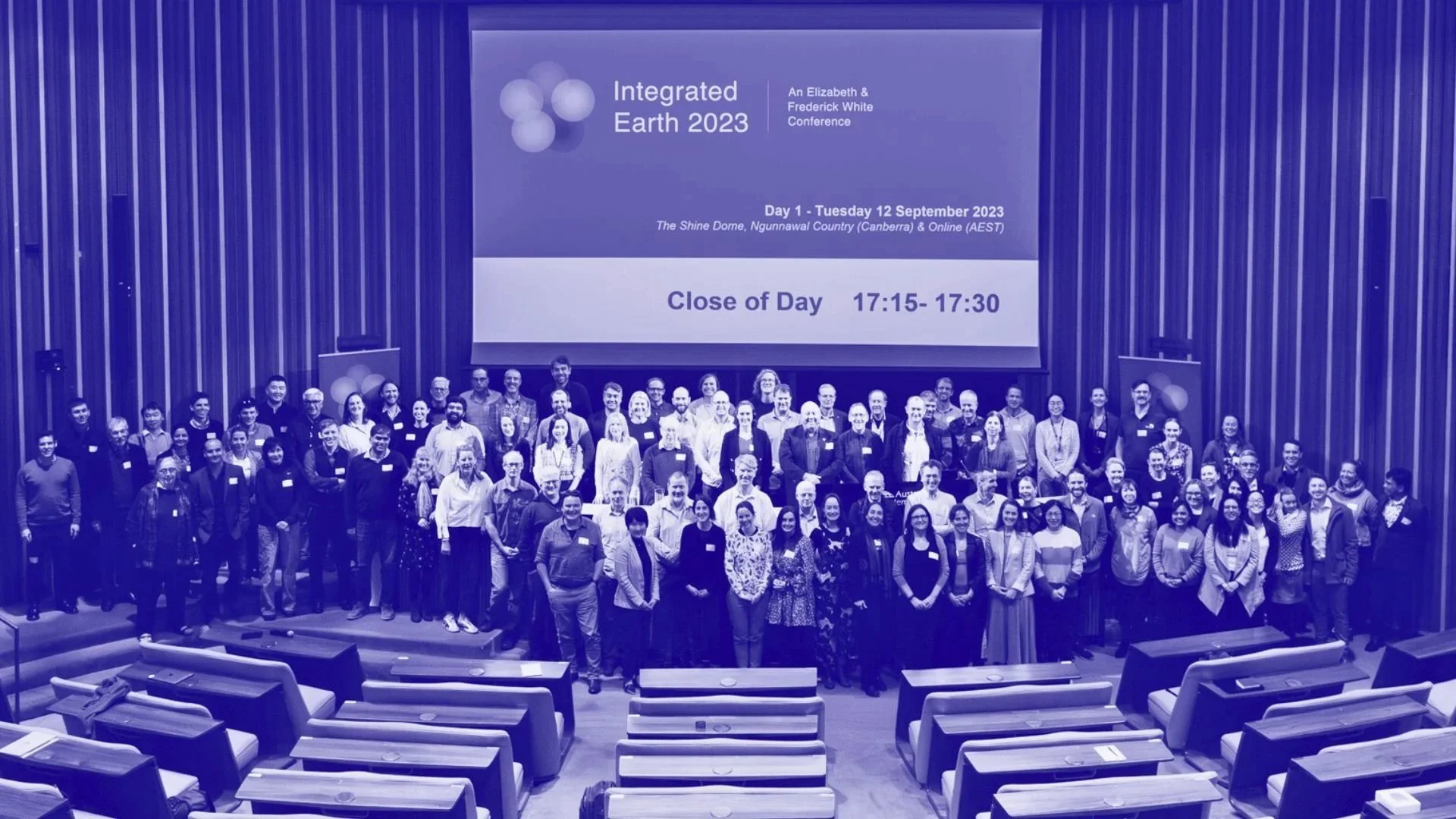
Integrated Earth 2023 conference attendees at The Shine Dome on Ngunnawal Country (Canberra). Image: TERN edited by AuScope
AuScope connects researchers across universities, government and industry through open data systems, shared facilities and national coordination.
We hold a unique role in the Australian geoscience ecosystem:
AuScope primarily supports researchers in academia and government.
Geoscience Australia and CSIRO focus on direct industry applications.
Together, we ensure that every part of the research community has access to the tools, data, and expertise needed to understand and manage Earth's systems.
Discover: Five-Year Investment Plan
Get Involved
Researchers, students and collaborators across Australia can access AuScope’s infrastructure through our programs and partnerships.
Join our network, use our data, or collaborate on research projects through shared facilities and online platforms.
AuScope Limited is a not-for-profit company, limited by guarantee. We have an independent board of directors and represent our 22 member organisations and the broader Australian geoscience community.
Discover our 10-Year Strategy 2020 – 2030 and 5-Year Investment Plan.
AuScope NEWS