LogAR is an Augmented Reality (AR) drill core logging platform that gives users a visually enhanced access to data in the National Virtual Core Library (NVCL) by superimposing HyLogger data onto visualisations of drill core trays.
Read More
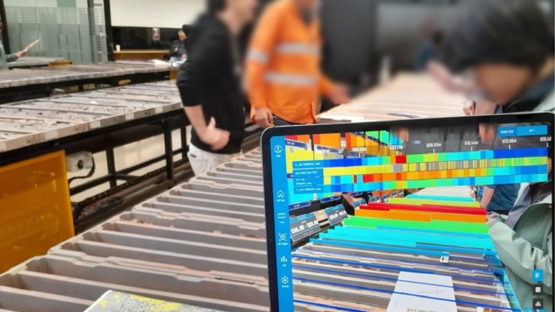
LogAR is an Augmented Reality (AR) drill core logging platform that gives users a visually enhanced access to data in the National Virtual Core Library (NVCL) by superimposing HyLogger data onto visualisations of drill core trays.
Read MoreThis project creates a national, AI‑ready 3D groundwater model that integrates Australian data, supports climate adaptation, and empowers researchers, governments, and industry to make informed, sustainable water management decisions.
Read MoreSeismology on Country renews and expands the AuSIS network by installing seismic stations in remote Aboriginal and Torres Strait Islander communities, strengthening national earthquake monitoring and supporting STEM learning on Country.
Read MoreClosing the gap in K‑Ca‑Ar geochronology, this project delivers a next‑generation TIMS/ZEPTONA capability, new mineral reference datasets, and validated dating methods that strengthen Australia’s geoscience, exploration, and isotope research capacity.
Read MoreThis project establishes Australia’s first national offshore fibre‑sensing capability, enabling real‑time monitoring of geohazards, CCS and hydrogen storage, subsea infrastructure, and marine environmental processes — all through existing submarine cables.
Read MoreSeeds of Science is creating a national PODs repository that safeguards raw geochemical data, strengthens FAIR and Open Science practices, and links samples, instruments, and publications through a transparent chain of custody.
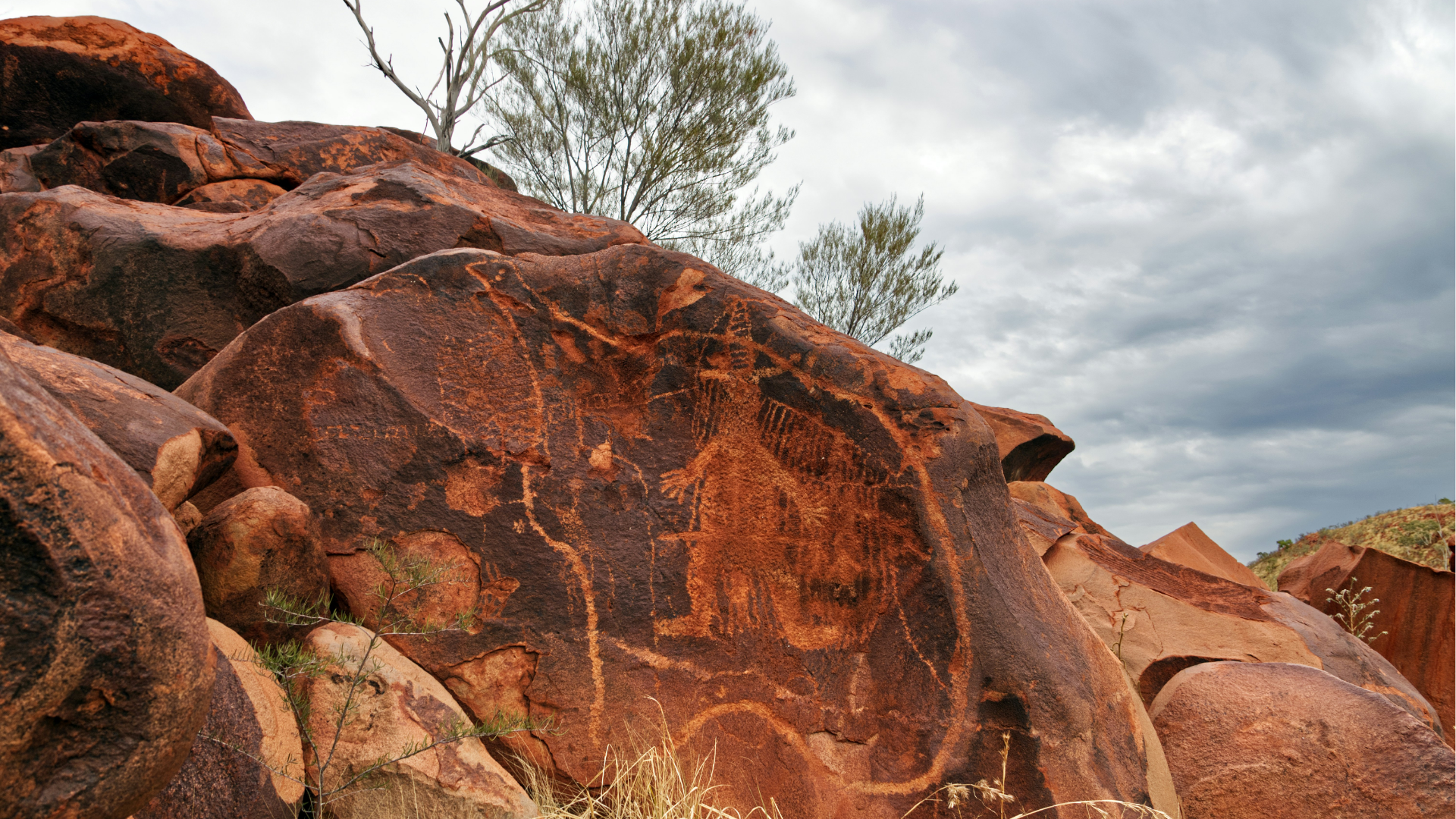
Read MoreOpen‑source Earth Science field guides and digital tools connecting students, teachers and classrooms to geology, climate and First Nations Country.
Read MoreAustralia's vast remote landscapes pose identical challenges for researchers studying everything from geology to wildfires to wildlife. This project aims to develop the preliminary design of a Universal Remote Platform: a standardised, modular infrastructure that supports diverse scientific instruments while addressing common operational challenges.
Read MoreThe Geophysical Research Infrastructure for Antarctica (GRIT) project aims to advance Antarctic research with specialised geophysical instrumentation tailored to the continent's extreme conditions. It now enters phase 3, after successfully completing phases 1 & 2.
Read MoreThe 'Interactive atlas of the Earth's evolution' project implemented a digital Model Atlas designed to curate, share, and distribute numerical simulations created with cutting-edge software.
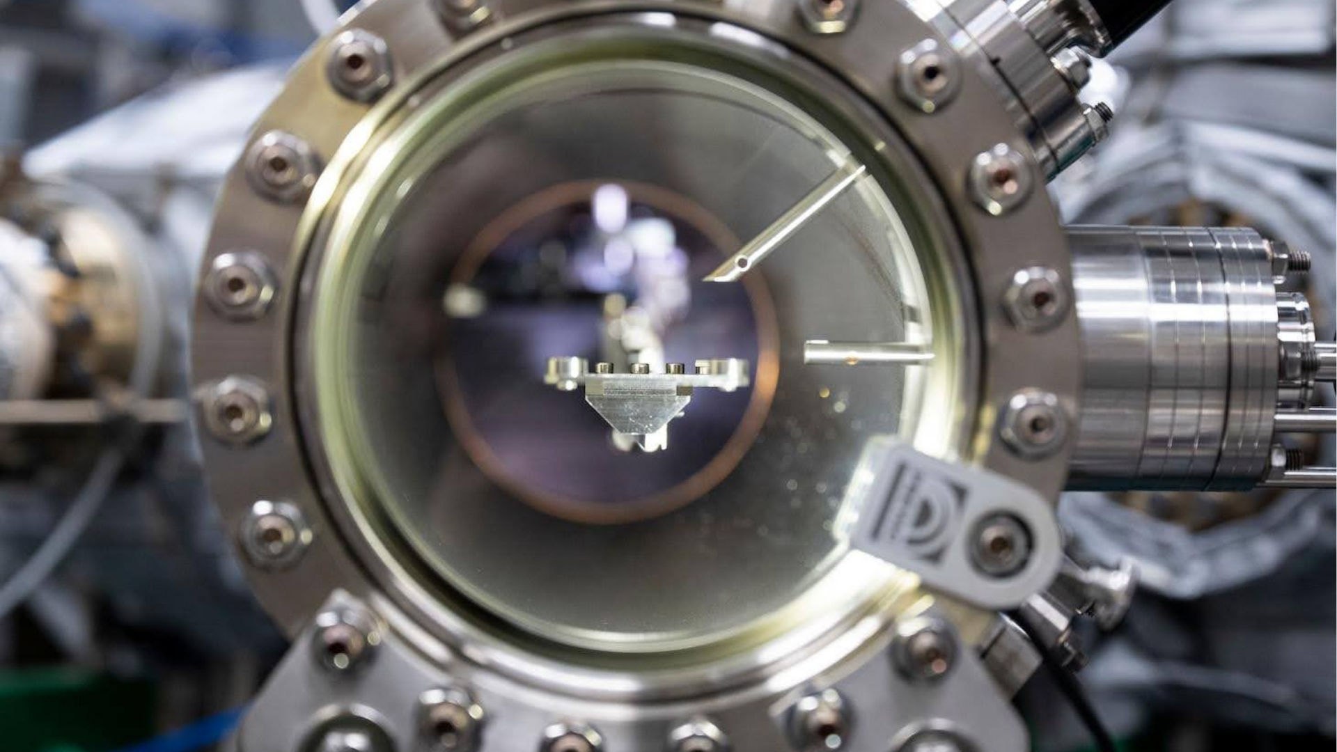
Read MoreThis project aimed to advance critical minerals research by providing access to the Geoscience Atom Probe (GAP) Facility at Curtin University, enabling nanoscale analysis of mineral elements crucial for Australia's economic and security interests.
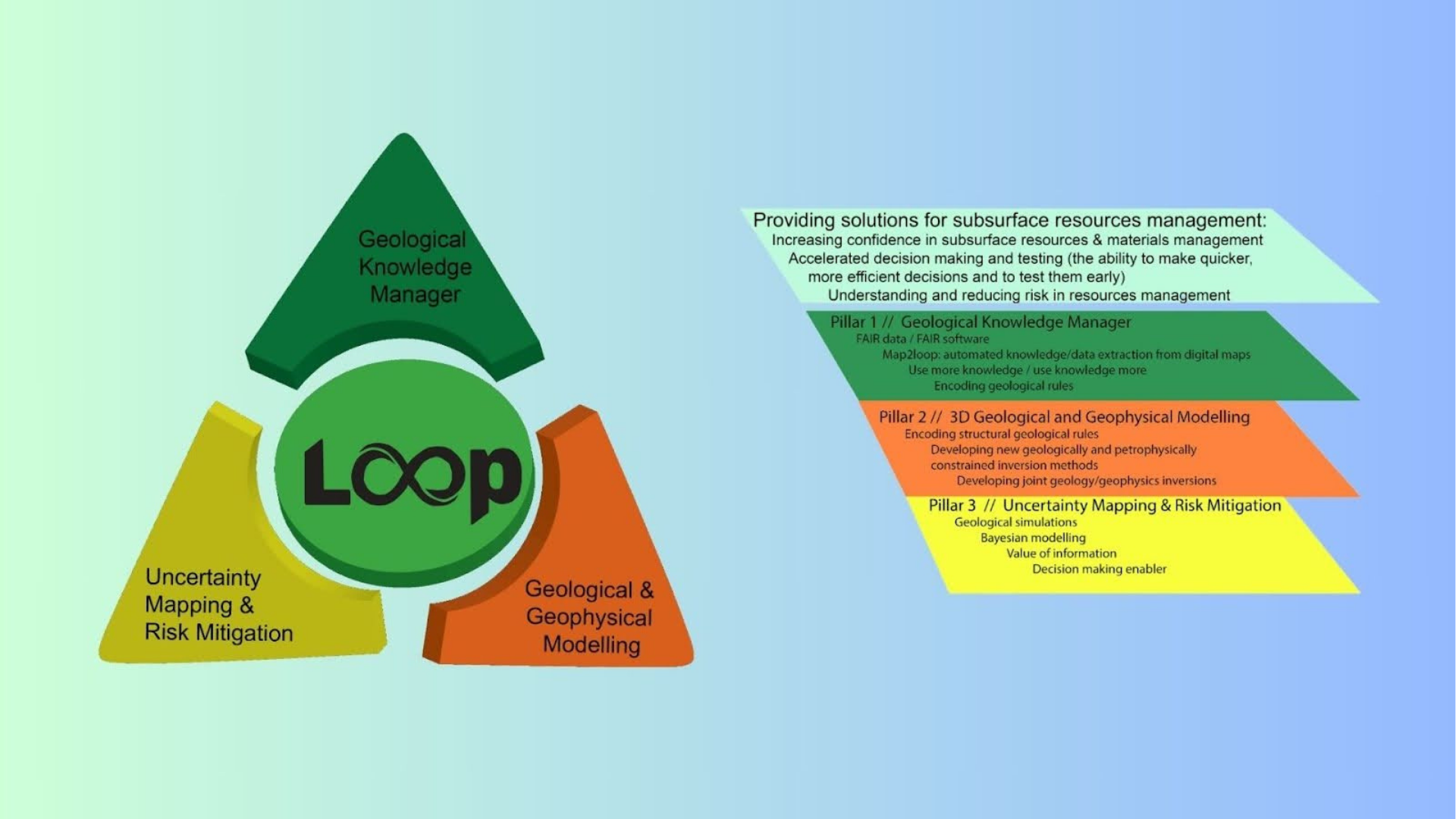
Read MoreThe Loop Project aimed to develop an open-source, 3D geological and geophysical modelling platform to address uncertainty mitigation and resource management.
Read MoreThis project was developed by the Sustainable Minerals Institute (SMI) at the University of Queensland to overcome the challenge of inconsistent and non-standardised data relating to critical minerals and mine tailings.
Read MoreAuScope’s National Geophysical Validation Line (NGVL) aims to establish an independent, easily accessible, and well-characterised national calibration line in Australia.
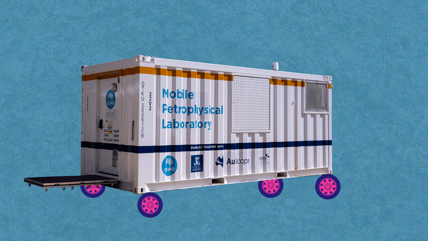
Read MoreMobilising Petrophysics around Australia enhances national engagement and open data delivery of the Mobile Petrophysical Laboratory (MPL), providing a mobile platform for measuring petrophysical properties on core samples.
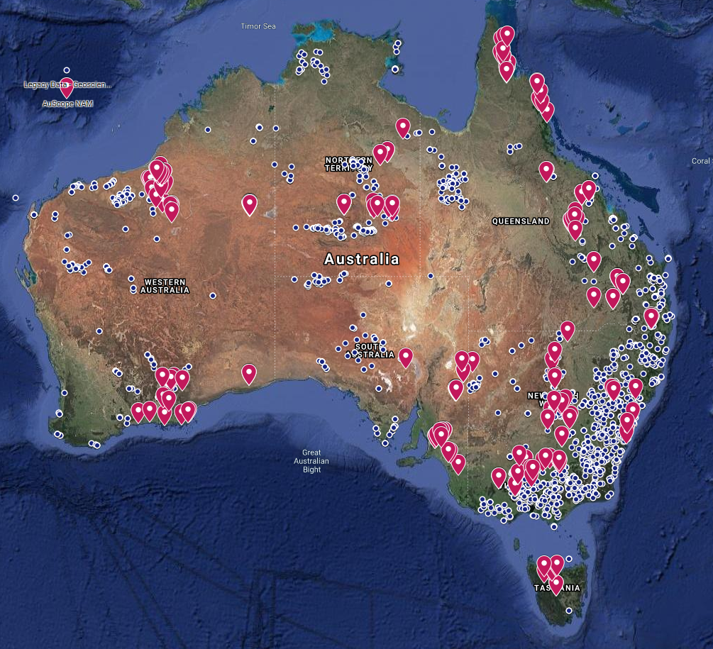
Read MoreExpanding our knowledge of Australia’s geological ‘architecture’ and mineral potential: Extensions to the National Argon Map
Read MoreGeophysics 2030 developed a national, high resolution and fully integrated geophysical data collection, leveraging historical and contemporary datasets to enhance large scale data processing capabilities.
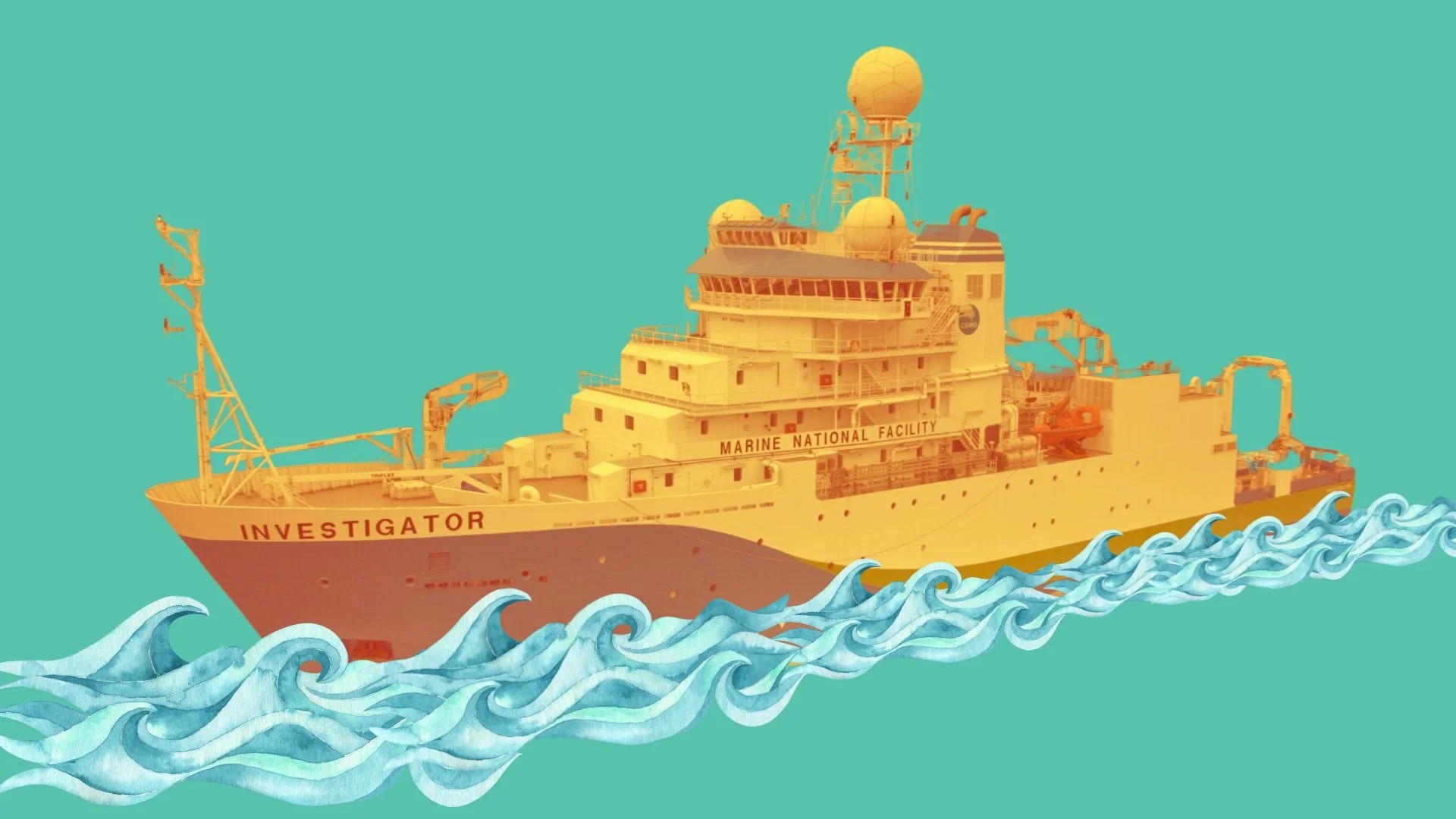
Read MoreThe Marine Heat Flow Measuring System (MHFMS) project aims to develop a method for measuring heat flow in ocean-floor sediments aboard Australia's Marine National Facility vessel, the RV Investigator, and the Australian Antarctic Division's icebreaker, the RSV Nuyina.
Read MoreThis project enhanced AuScope’s remote sensing data by making national-scale and space-enabled remote sensing data more accessible and useful for researchers, adhering to FAIR principles.
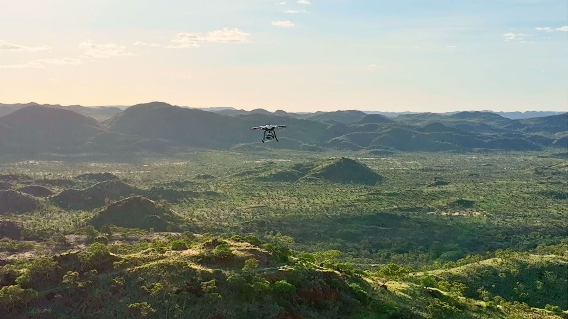
Read MoreEarthDrone is a national drone infrastructure project that enables the remote deployment of lightweight fluxgate magnetometers for geomagnetic depth sounding (GDS). Designed for mineral exploration in remote or culturally sensitive areas, it offers a scalable, low-cost solution for mapping subsurface structures using drone swarms and long-period magnetic sensing.
Read More