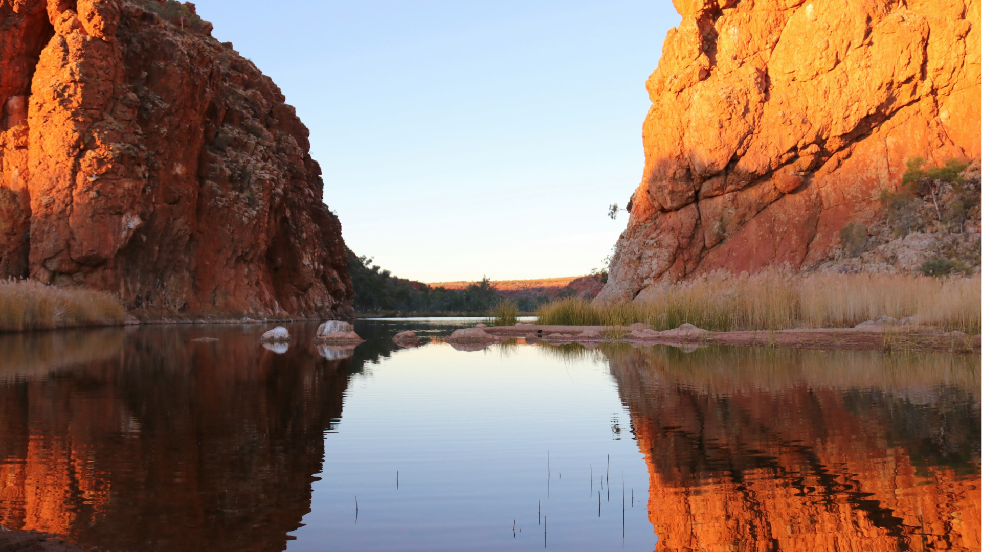
Seismology on Country renews and expands the AuSIS network by installing seismic stations in remote Aboriginal and Torres Strait Islander communities, strengthening national earthquake monitoring and supporting STEM learning on Country.
Read More
Seismology on Country renews and expands the AuSIS network by installing seismic stations in remote Aboriginal and Torres Strait Islander communities, strengthening national earthquake monitoring and supporting STEM learning on Country.
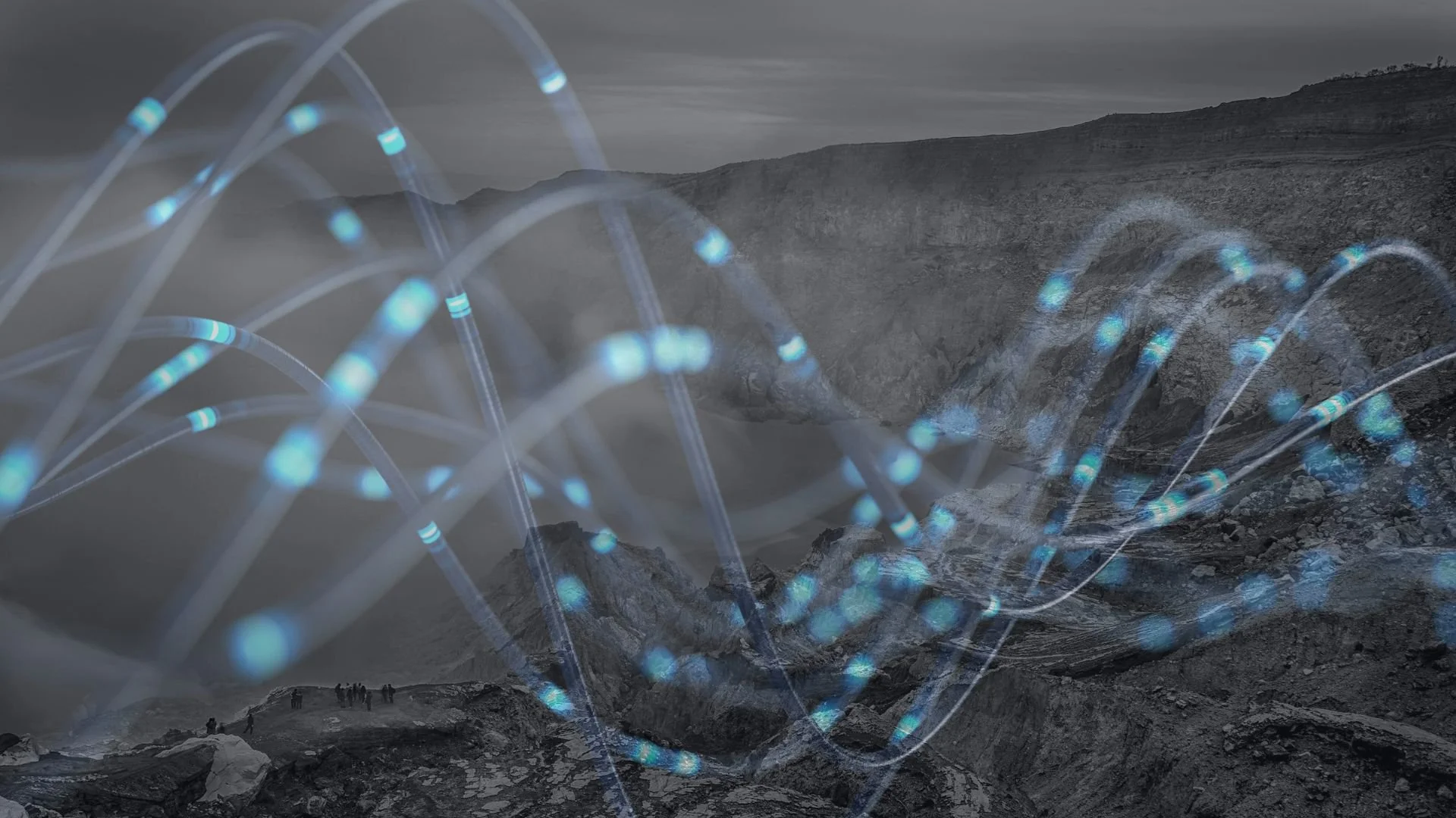
Read MoreThis project establishes Australia’s first national offshore fibre‑sensing capability, enabling real‑time monitoring of geohazards, CCS and hydrogen storage, subsea infrastructure, and marine environmental processes — all through existing submarine cables.
Read MoreThe Geophysical Research Infrastructure for Antarctica (GRIT) project aims to advance Antarctic research with specialised geophysical instrumentation tailored to the continent's extreme conditions. It now enters phase 3, after successfully completing phases 1 & 2.
Read MoreAuScope’s National Geophysical Validation Line (NGVL) aims to establish an independent, easily accessible, and well-characterised national calibration line in Australia.
Read MoreGeophysics 2030 developed a national, high resolution and fully integrated geophysical data collection, leveraging historical and contemporary datasets to enhance large scale data processing capabilities.
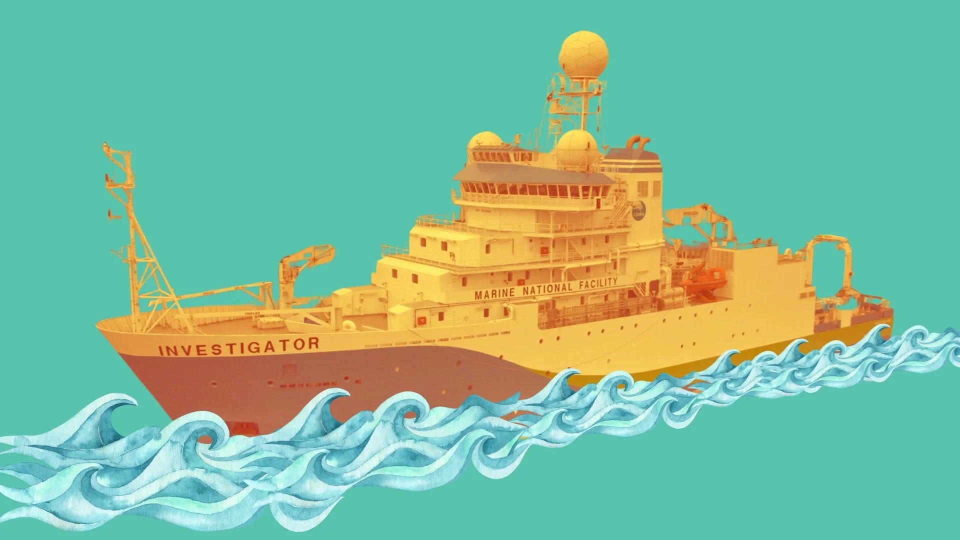
Read MoreThe Marine Heat Flow Measuring System (MHFMS) project aims to develop a method for measuring heat flow in ocean-floor sediments aboard Australia's Marine National Facility vessel, the RV Investigator, and the Australian Antarctic Division's icebreaker, the RSV Nuyina.
Read MoreThe GLACI Infrastructure facility will provide deployed/telemetered and portable instruments to investigate glaciers and adjacent areas, including ice sheets, ice streams, and ice shelves.
Read MorePlate tectonics, volcanism, epeirogenic motions, hotspots, basin formation, episodes of mountain building, igneous intrusions, metamorphism — all are consequences of the flow of heat within the Earth at the mantle and lithosphere scale.
Read MoreThe Critical Zone is the surface environment where complex interactions between soil, water, air, and organisms help regulate natural ecosystems and life-sustaining resources.
Read More