This project was developed by the Sustainable Minerals Institute (SMI) at the University of Queensland to overcome the challenge of inconsistent and non-standardised data relating to critical minerals and mine tailings.
Read More
This project was developed by the Sustainable Minerals Institute (SMI) at the University of Queensland to overcome the challenge of inconsistent and non-standardised data relating to critical minerals and mine tailings.
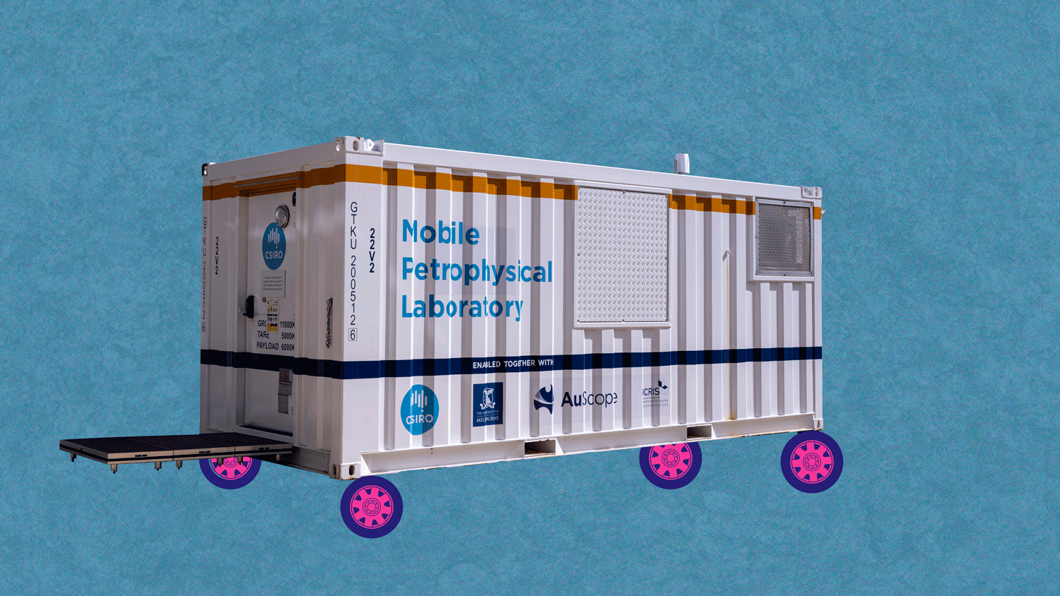
Read MoreMobilising Petrophysics around Australia enhances national engagement and open data delivery of the Mobile Petrophysical Laboratory (MPL), providing a mobile platform for measuring petrophysical properties on core samples.
Read MoreExpanding our knowledge of Australia’s geological ‘architecture’ and mineral potential: Extensions to the National Argon Map
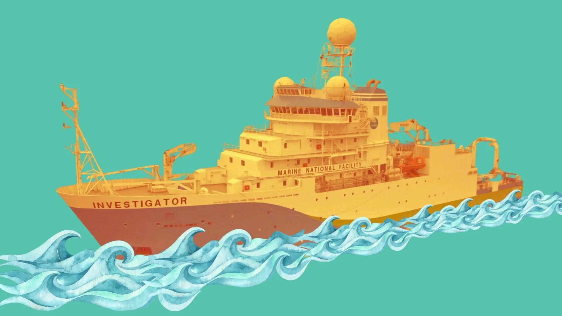
Read MoreThe Marine Heat Flow Measuring System (MHFMS) project aims to develop a method for measuring heat flow in ocean-floor sediments aboard Australia's Marine National Facility vessel, the RV Investigator, and the Australian Antarctic Division's icebreaker, the RSV Nuyina.
Read MoreThis project enhanced AuScope’s remote sensing data by making national-scale and space-enabled remote sensing data more accessible and useful for researchers, adhering to FAIR principles.
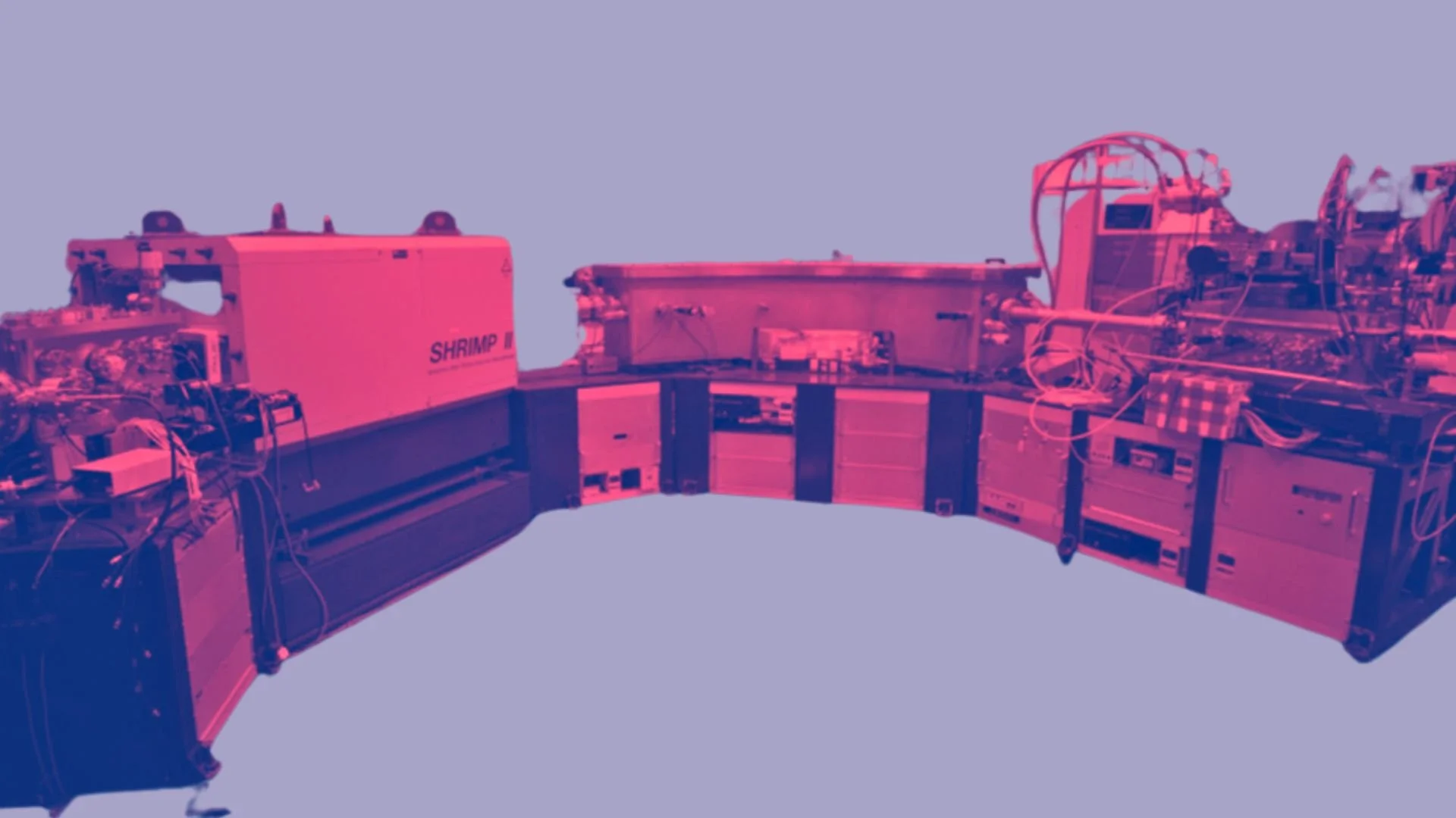
Read MoreThe Mapping Australia’s Crust In Four Dimensions (MAC4D) project aimed to enhance ANU's SHRIMP-II age-mass spectrometer's capabilities, enabling the measurement of multiple isotopes crucial for mapping Australia's crust in four dimensions. This initiative helped facilitate the creation of integrated isotope-age maps, aiding in the discovery of new critical minerals.
Read MoreCommon Framework for Inference (CoFI) aims to address inference problems within Earth Sciences, irrespective of size and scope, by capturing inherent commonalities present in all types of inverse problems, independent of the specific methods employed to solve them.
Read MoreThe AGN+ project piloted the expansion of the AuScope Geochemistry Network (AGN) through the addition of several new university geochemistry analytical facilities to enhance accessibility to key geochemical data sets.
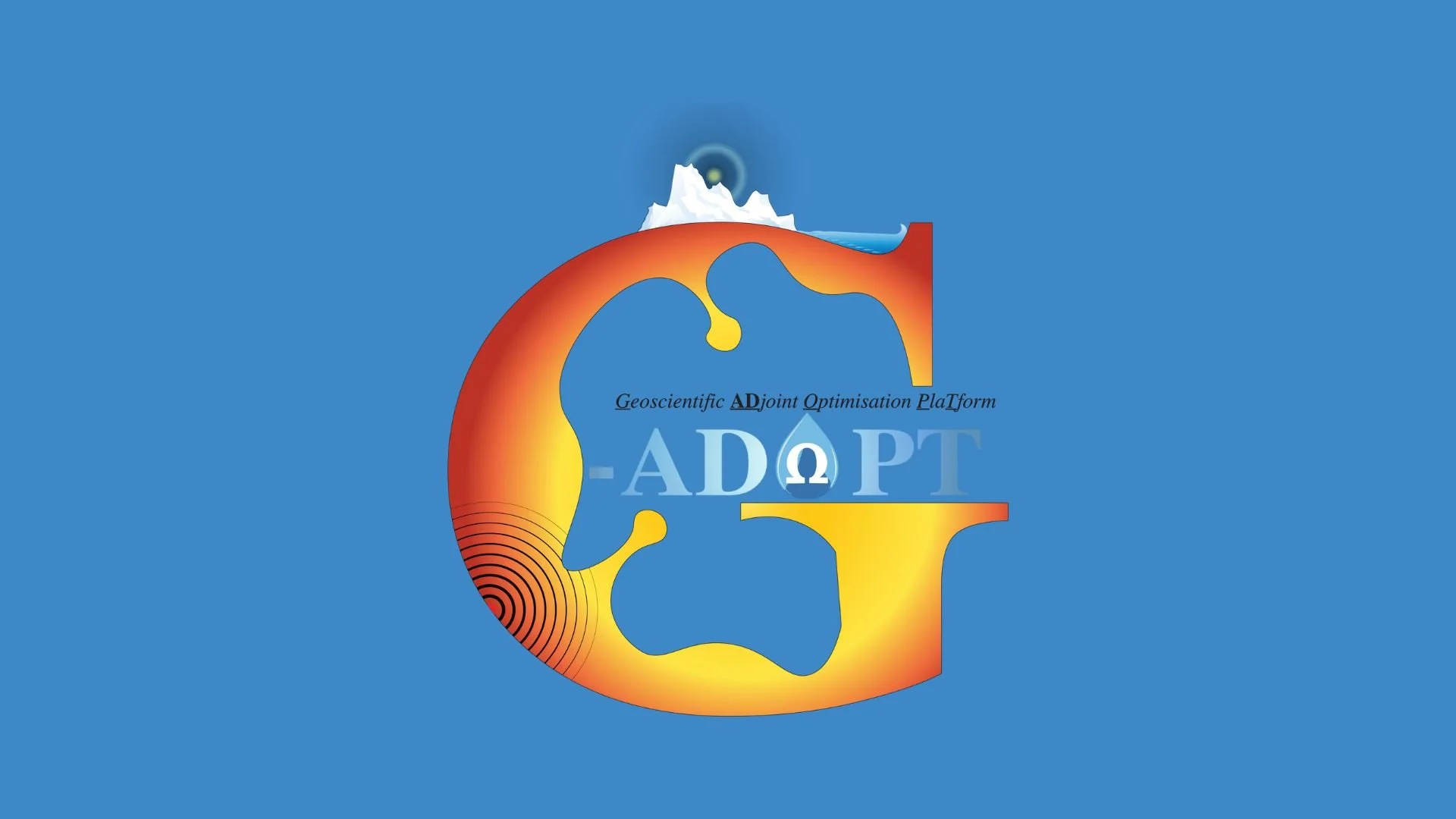
Read MoreG-Adopt is a platform that integrates observational data with dynamics, physics, and chemistry. It leverages recent advancements in datasets and inversion methods to enhance geoscientific modelling.
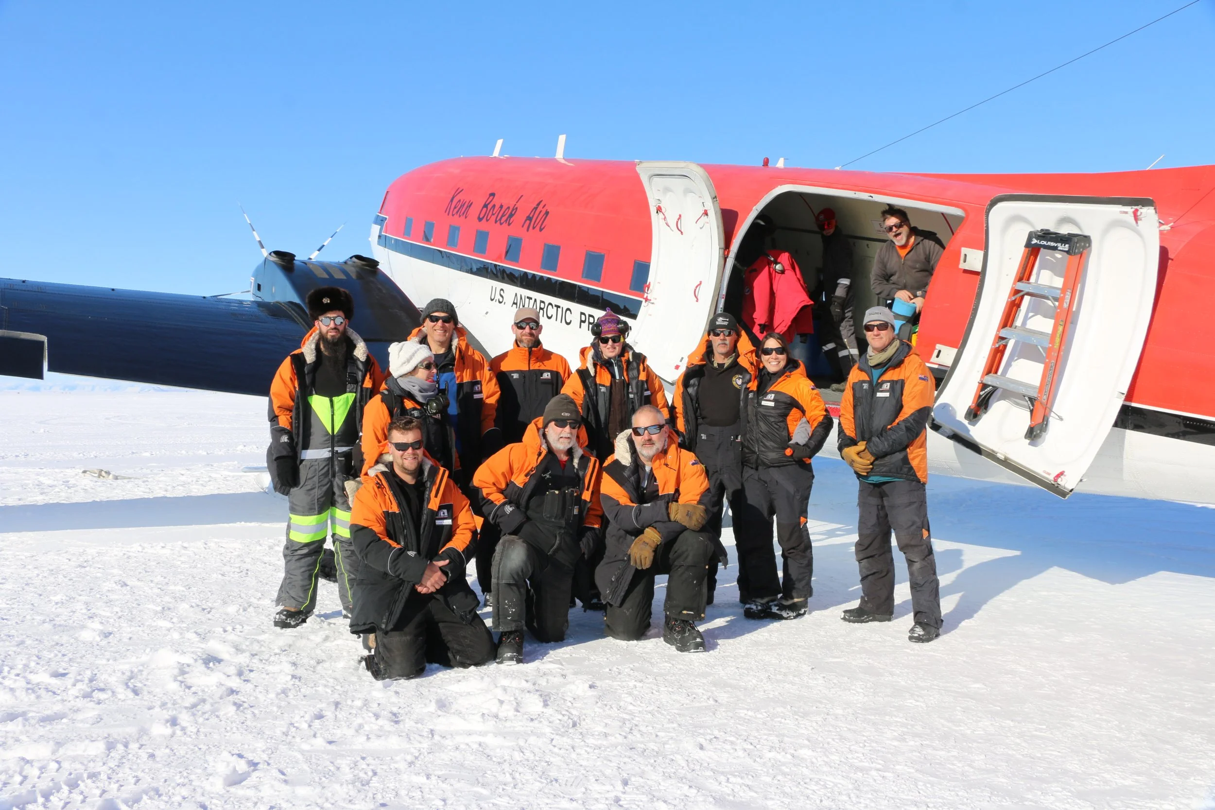
Read MoreLand-2-Sea Geoscience (L2SG) project focuses on deploying innovative drilling technology to contribute to the global scientific understanding of Antarctic ice dynamics.
Read MoreThe GPlates App is a powerful tool that enables users to reconstruct and visualise spatial data through geological time. Built on top of the acclaimed plate reconstruction software, the App benefits from the feature-rich web APIs and the flexible software architecture of its underlying technology.
Read MoreThe Critical Zone is the surface environment where complex interactions between soil, water, air, and organisms help regulate natural ecosystems and life-sustaining resources.
Read MoreSecuring advanced analytical technology for novel minerals exploration research
Read MoreThe Australian Atom Trap Trace Analysis (ATTA) is a state-of-the-art sovereign facility for measuring noble gas radioisotope concentrations better than parts per trillion. It enables the full understanding of groundwater systems, with a strong focus on provenance and residence time.
Read More