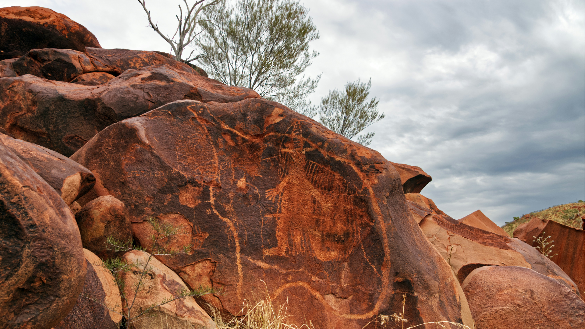
LogAR is an Augmented Reality (AR) drill core logging platform that gives users a visually enhanced access to data in the National Virtual Core Library (NVCL) by superimposing HyLogger data onto visualisations of drill core trays.
Read More
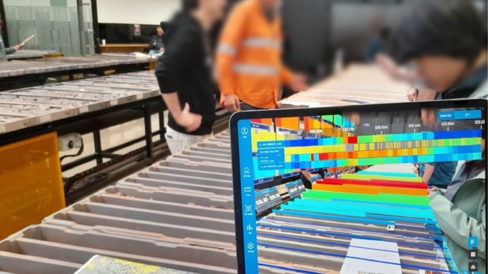
LogAR is an Augmented Reality (AR) drill core logging platform that gives users a visually enhanced access to data in the National Virtual Core Library (NVCL) by superimposing HyLogger data onto visualisations of drill core trays.
Read MoreThis project creates a national, AI‑ready 3D groundwater model that integrates Australian data, supports climate adaptation, and empowers researchers, governments, and industry to make informed, sustainable water management decisions.
Read MoreSeismology on Country renews and expands the AuSIS network by installing seismic stations in remote Aboriginal and Torres Strait Islander communities, strengthening national earthquake monitoring and supporting STEM learning on Country.
Read MoreClosing the gap in K‑Ca‑Ar geochronology, this project delivers a next‑generation TIMS/ZEPTONA capability, new mineral reference datasets, and validated dating methods that strengthen Australia’s geoscience, exploration, and isotope research capacity.
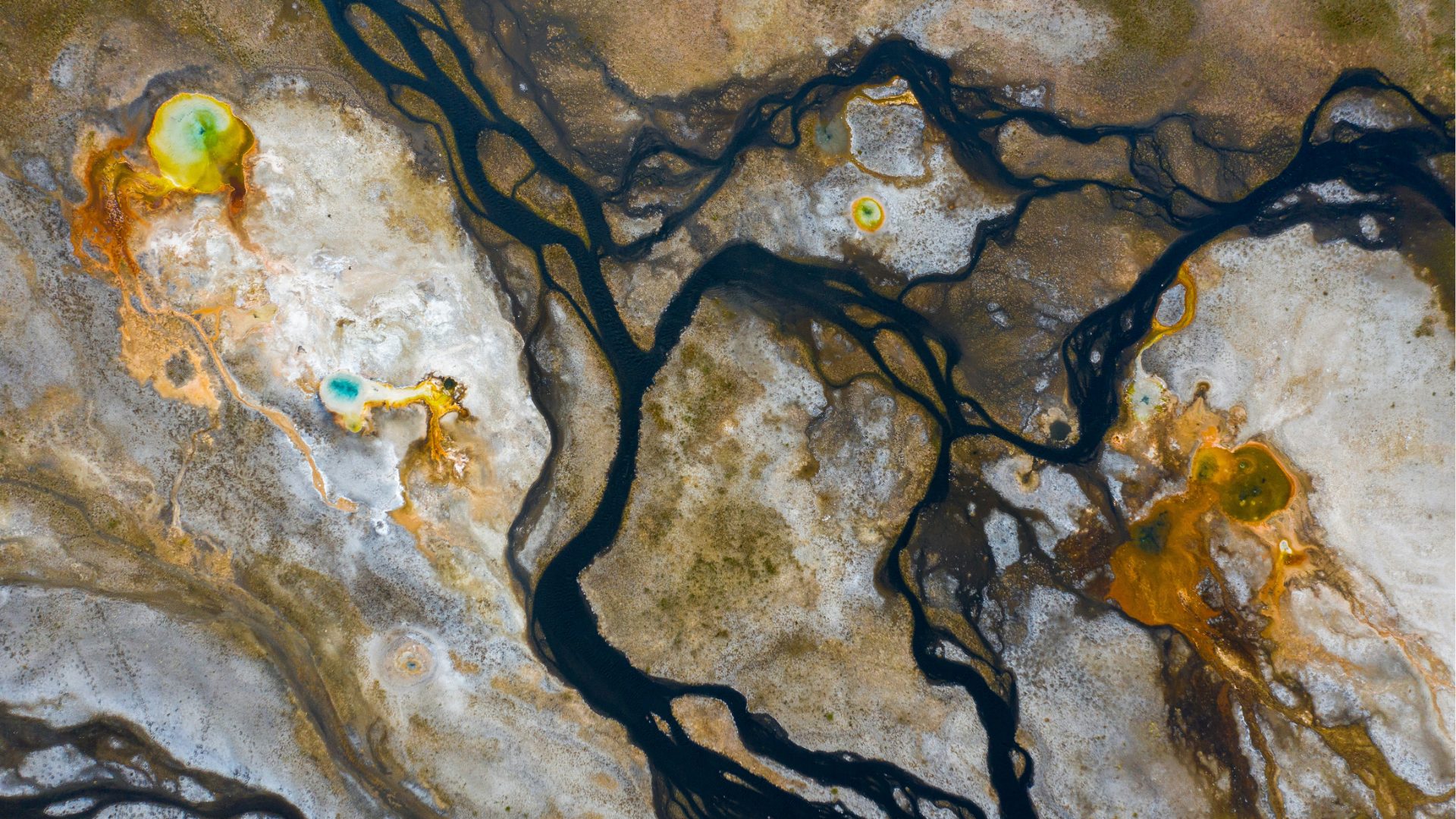
Read MoreThis project establishes Australia’s first national offshore fibre‑sensing capability, enabling real‑time monitoring of geohazards, CCS and hydrogen storage, subsea infrastructure, and marine environmental processes — all through existing submarine cables.
Read MoreSeeds of Science is creating a national PODs repository that safeguards raw geochemical data, strengthens FAIR and Open Science practices, and links samples, instruments, and publications through a transparent chain of custody.
Read MoreOpen‑source Earth Science field guides and digital tools connecting students, teachers and classrooms to geology, climate and First Nations Country.
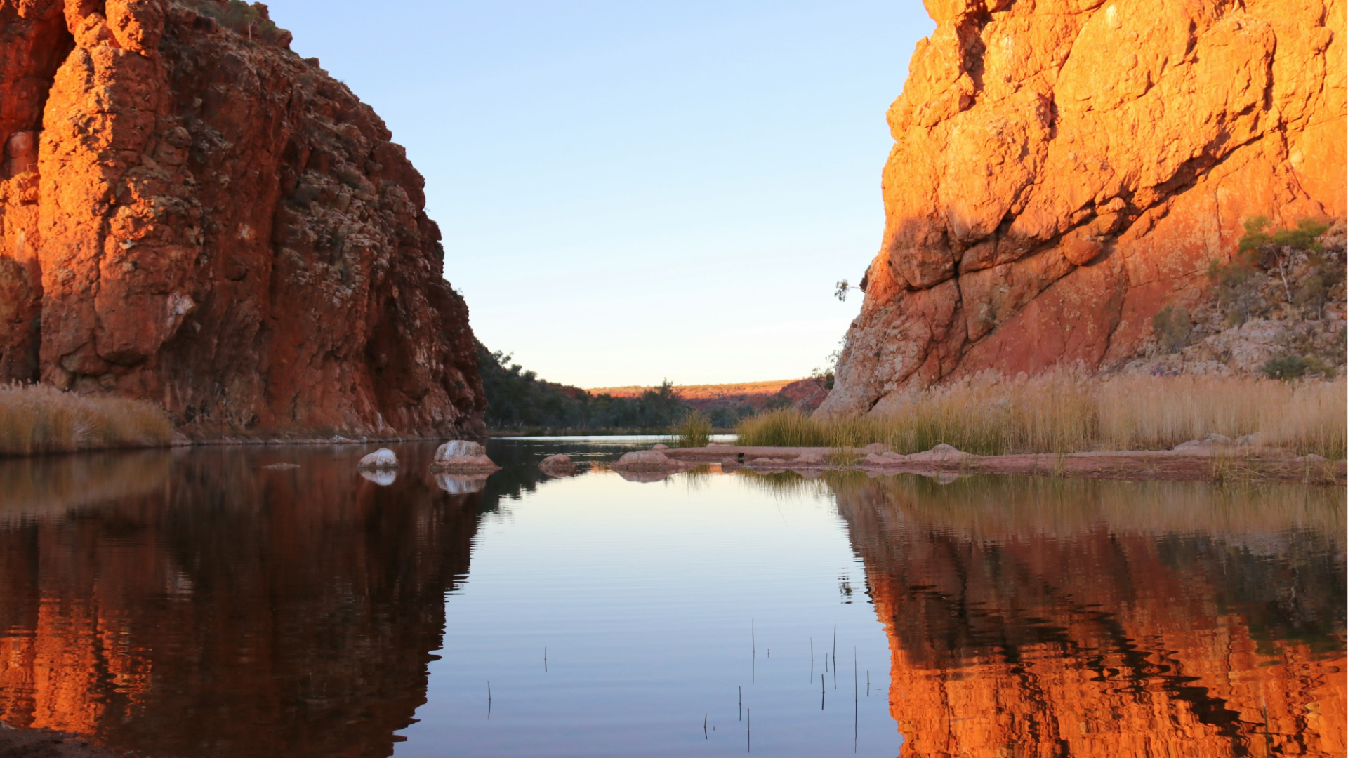
Read MoreAustralia's vast remote landscapes pose identical challenges for researchers studying everything from geology to wildfires to wildlife. This project aims to develop the preliminary design of a Universal Remote Platform: a standardised, modular infrastructure that supports diverse scientific instruments while addressing common operational challenges.
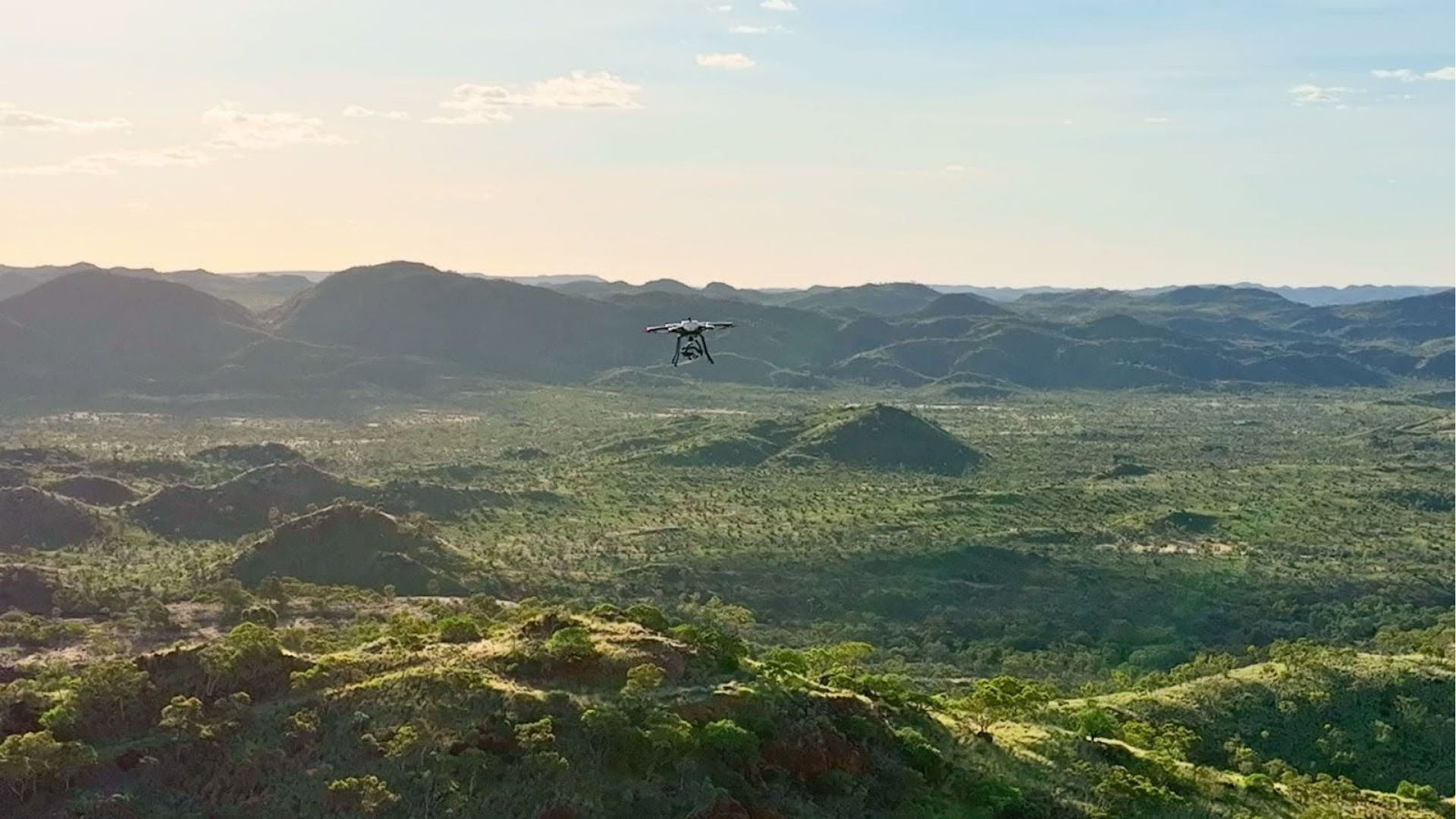
Read MoreEarthDrone is a national drone infrastructure project that enables the remote deployment of lightweight fluxgate magnetometers for geomagnetic depth sounding (GDS). Designed for mineral exploration in remote or culturally sensitive areas, it offers a scalable, low-cost solution for mapping subsurface structures using drone swarms and long-period magnetic sensing.
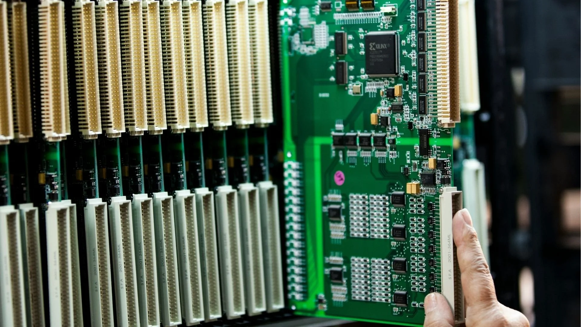
Read MoreThis project, supported by the National Collaborative Research Infrastructure Strategy (NCRIS), aims to future-proof Australia’s valuable geophysical datasets by transforming them into formats compatible with high-performance computing (HPC).
Read More