
Subsurface Observatory
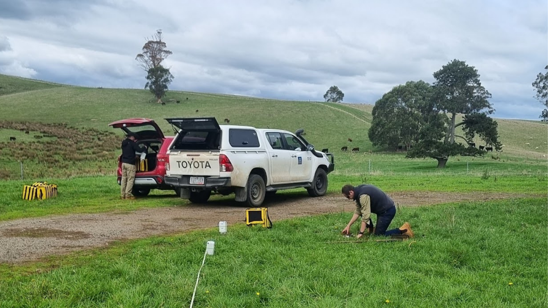
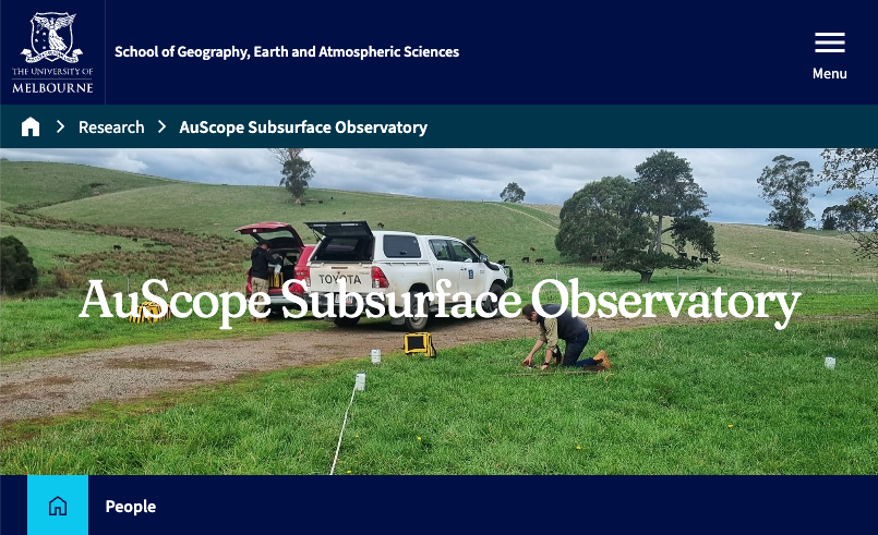
University of Melbourne and Geoscience Australia team performing seismic investigation of site conditions at one of the UOMSN permanent stations (VW:MARD), the instruments are SmartSolo IGU-16HR-3C, which are available for use via ANSIR and the Subsurface Observatory.
The Subsurface Observatory strengthens Australia’s ability to monitor and understand the shallow crust. It integrates seismic, petrophysical, and fibre optic technologies to improve data quality and coverage. The project supports research, hazard assessment, and resource exploration.
Overview
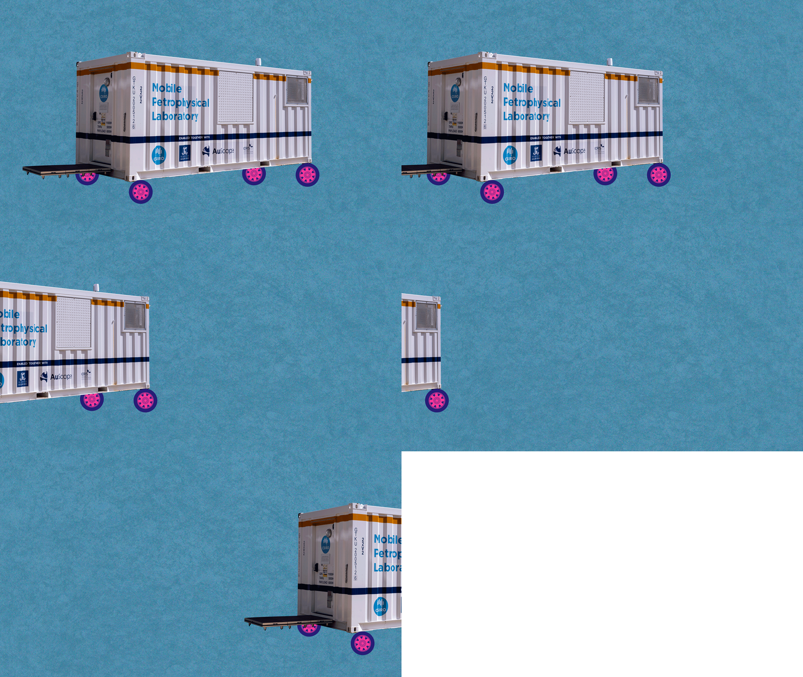
The Subsurface Observatory focuses on strengthening Australia’s shallow crustal monitoring capability by integrating seismic arrays, surface motion instrumentation, and advanced petrophysical analysis. Key activities include operation and supporting regional and micro-seismic networks, deploying the Mobile Petrophysics Laboratory across jurisdictions, and advancing fibre optic sensing technologies for borehole temperature measurement. Together, these efforts improve data quality, coverage, and analytical capability across geoscience applications.
“For more than a decade, the Subsurface Observatory has delivered geophysical infrastructure spanning advanced laboratory facilities and field monitoring capability.
A defining strength is sustained, long-term observation — building critical datasets and instrumentation through shifting technological and investment landscapes.
That continuity is now paying dividends: dense seismic monitoring is supporting CCS, energy security, and seismic hazard assessment across southeastern Australia's diverse geological provinces, while the infrastructure is in place to support renewed interest in geothermal technologies.”
- Dr Dan Sandiford
The Challenge
Australia lacks the dense seismic monitoring and high-quality petrophysical data needed to accurately assess seismic hazard, characterise geothermal resources, and inform infrastructure decisions. This project targets regions where elevated seismicity and critical infrastructure coincide, and where existing observations and rock-property data are insufficient to meet these needs.
Expected Outcomes
Expanded and optimised seismic monitoring arrays across key regions
Improved near-surface characterisation using dense-array seismic techniques
Increased availability and use of high-resolution petrophysical data
Enhanced borehole temperature measurement using robust fibre optic systems
Continued development of rapid response aftershock monitoring capability
FAIR-aligned datasets supporting national and international research
What are the benefits?
Improved hazard assessment: a denser, integrated data catalogue supports refined ground-motion models and more robust risk assessments.
Better resource characterisation: new petrophysical and borehole heat-flow data strengthen exploration for mineral and energy resources.
Rapid response capability: mobile instrumentation enables swift aftershock deployments following significant earthquakes.
Long-term national infrastructure: sustained, high-quality datasets support infrastructure planning, policy, and ongoing research collaboration.
Who will benefit
Several communities will benefit from this project, including:
Researchers and universities will gain access to high-quality seismic and petrophysical datasets and analytical workflows.
Government agencies will receive improved inputs for site selection and hazard mitigation to inform policy and governance.
Industry professionals will gain access to the distributed infrastructure for exploration and resource assessment.
Access
Access to Subsurface Observatory infrastructure and data is provided through national collaborations and established frameworks.
Seismic and surface motion instrumentation access is facilitated through partnerships with Geoscience Australia, CSIRO, and research organisations via ANSIR
The Mobile Petrophysics Laboratory is available to researchers, government agencies, industry clients, and collaborative partners, with deployments coordinated across geological surveys
Data generated through the project is FAIR-aligned and made accessible to collaborators and the broader research community via the AuScope Portal



Project Name
Subsurface Observatory
Project Lead

Timeframe
2025 - 2028
Status
Active
Funding
NCRIS
Host
The University of Melbourne
NCRIS Collaborators
NCI
TERN
Other Collaborators
CSIRO
CO2CRC
Geoscience Australia
Seismological Association of Australia (SAA)
Geological Survey of Victoria (GSV)
AuScope Programs

Acknowledging AuScope
This project was made possible by support from the National Collaborative Research Infrastructure Strategy (NCRIS) through AuScope. Acknowledging AuScope and NCRIS helps us demonstrate the value of shared research infrastructure, ensuring continued support and resources for the research community.
If you helped deliver this project or have benefited from its outputs, please credit AuScope so we can include your work in our impact reporting. For examples of acknowledgement, please visit our ‘Acknowledge AuScope’ page.
We’d love to see your work—please tag us on social media using:
@auscope | #AuScopeImpact | #NCRISimpact