
Geoscience shows Victoria’s high country starts with New Zealand
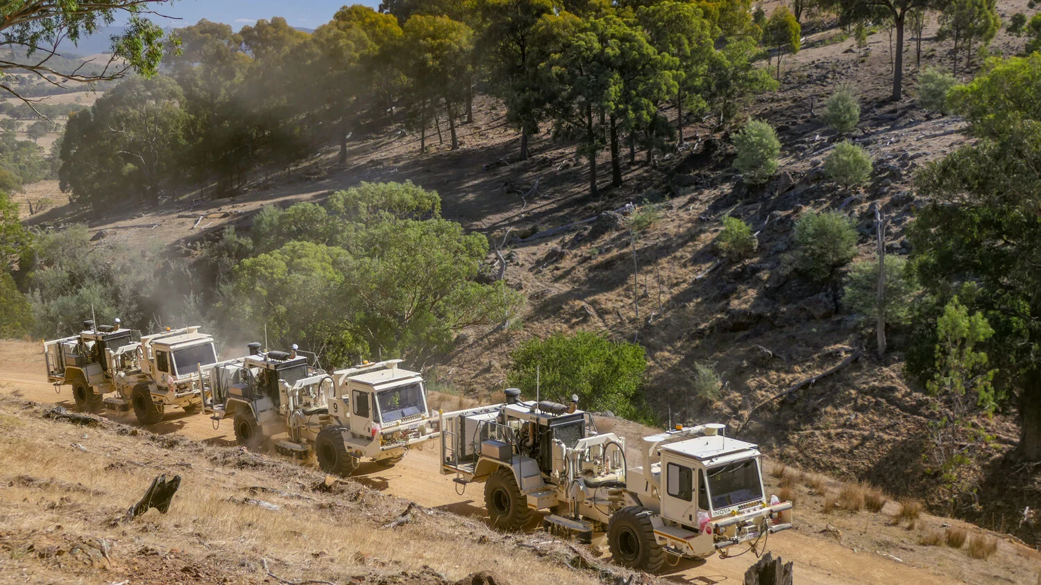
Conducting the seismic survey in Eastern Victoria, results from which will be incorporated into existing state and national public geoscience databases. All survey results, data compilations, interpretations and new models will be made publicly available on GSV and Geoscience Australia websites. Image: GSV.
Scientists from the Geological Survey of Victoria (GSV) discover that Victoria’s scenic high country continues to be influenced by New Zealand as trans-Tasman tectonic pressure, as it drives up the mountain range. This insight comes from data gathered in new, deep crustal seismic reflection survey enabled* by AuScope.
The scientist’s applied research supports the idea that the Australian Alps in southeast Australia are ‘young’ and dynamic, forming their present shapes in the last 10 million years, rather than being the eroded stumps of an ancient mountain range. And the main driver for this modest mountain building is stress being transferred through the Earth’s crust from the ongoing tectonic plate boundary collision in New Zealand.
This research was enabled by new seismic data that was produced in a survey that extended from Benalla in Victoria and finishing south of Eden in NSW. The geological survey took 18 months to acquire, process and interpret, covered 629 km and recorded echoes from rocks deep within the earth.
The Victorian survey route followed selected private and public roads and tracks around Benalla, Myrtleford, Eskdale, Tom Groggin, Benambra, Wulgulmerang, Tubbut, Bonang and Bendoc. Results of the project were presented on 27 September 2019 to a south-eastern Australian geology conference in Wagga Wagga.
Discover the dynamic geological processes that are making the Australian Alps. Video: GSV.
The project was carried out through a collaboration of government agencies involving the Geological Survey of Victoria, Geoscience Australia, the Geological Survey of New South Wales and AuScope. AuScope CEO, Dr Tim Rawling reflects on the successful collaboration:
“This ambitious and nationally significant data acquisition program has provided a very valuable dataset that will provide long-lived value to researchers, the exploration industry and government.”
A ground-based gravity survey was also conducted along the same route earlier in 2019. Both surveys have contributed more than $230,000 directly to regional economies in north east Victoria through local purchasing of items such as fuel, accommodation, food and supplies.
The survey findings will be made public through this website, including a short film to show the collection of the data and the geology of the region, which is a key driver in GSV’s strategy, as director Paul McDonald explains:
“Advancing public knowledge of the state’s geological architecture and how it has evolved over the past 500 million years is a key focus of the Geological Survey of Victoria.”
This story has been adapted from a media release that was produced by the Geological Survey of Victoria on on 26 September 2019. Learn more about this project.
*AuScope contributed funding for this project, along with Geoscience Australia, the Geological Survey of NSW.