
Underpinning Monash University’s Drone Discovery Platform

Monash University’s Drone Discovery Platform is ready to support researchers across STEM and HAAS fields — from data collection to analysis. Image: Monash University
AuScope is excited to help celebrate the launch of Monash University’s Drone Discovery Platform which brings together drones, data, NCRIS-enabled workflows and analytics, allowing researchers across STEM and HAAS to imagine a new generation of high resolution imaging possibilities.
Professor Ian Smith, Vice-Provost (Research & Research Infrastructure), describes the University’s commitment to exploring the benefits of drone technology as a unique opportunity for researchers to both improve the use of drone’s in the field, and to leverage the university’s existing leadership in fields like HPC (High Performance Compute) and AI (Artificial Intelligence) techniques and sensor development to accelerate the translation of data collected by drone sensors:
“We see drones as providing huge opportunities across all of our university priority research areas. Science and technology disciplines are obvious, but there are also significant applications for drones and airborne sensors to support research in the social sciences and humanities.”
Monash University brings drones together with advanced sensing technologies and smart analytics, servicing a new generation of research needs across STEM and HAAS. Video: Monash University. Monash University
Currently, a number of universities and research intensive organisations across Australia use drones to gather vital data on everything from agricultural crop health to infrastructure assessment and management. What makes the Monash University Drone Discovery platform different is a “whole of practice” approach to supporting each end users’ need, from provisioning instrumentation equipment through to data analysis and visualisation tools. Platform Director, Dr Rohan Clarke adds:
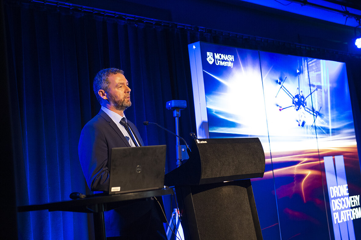
“As we operate our Monash Technology Research Platforms under the globally recognised ISO 9001 certification, we offer genuine leadership in quality, safety, reporting and operating standards in this new and rapidly developing space.”
Monash University Drone Discovery platform director, Dr Rowan Clarke introduces Monash’s new research infrastructure capability. Image: Monash University
Dr Clarke acknowledges the significant support of the Australian Research Councils Linkage, Infrastructure and Equipment Fund, alongside partner institutions, which have provided important capacity to acquire high-end drones and world-leading airborne sensors including LiDAR, Hyperspectral cameras and an L-Band radiometer. He explains:
“Our research community increasingly requires high resolution data to be captured by two or more simultaneously operated sensors. To achieve this we need to rely on UAV’s that can carry these payloads, whilst also achieving extended endurance and agility in the air.”
Researchers from Monash University have previously identified the diverse challenges of using drones for their work. Such challenges range from equipment selection and acquisition, through safe and compliant operations, to a need to analyse or store exceptional volumes of data as part of the workflow.
“This is where the Drone Discovery Platform becomes part of the one-stop-shop offering for any project. We not only conceptualise the projects hardware needs and scope, but we work with our end users to address what analytical techniques and tools they may need once the data is collected.”
As with the other 32 Monash Technology Research Platforms, the Drone Discovery Platform is open access, welcoming collaboration and partnership with non-University members of the research and industrial communities.
Professor Smith encourages researchers to partner with the platform, adding that Monash has a role to play in taking the lead:
“Our role as a leading research university is to be a door opener for collaboration. Industry, government and other research institutions will benefit from our determination to see how far drone technology can take us when it comes to addressing some of the largest questions our planet faces at the moment — ultimately addressing human sustainability and the stability of our built environments and the natural world.”

AuScope director, Dr Tim Rawling explains the opportunities for geoscience researchers to utilise drone technology. Image: Monash University
AuScope CEO, Dr Tim Rawling explains how AuScope has been able to support the development of Monash’s Drone Discovery Platform, moving towards national, collaborative research opportunities in the future:
“Drones are clearly already a disruptive technology but there are still a number of regulatory, cost and data lifecycle related barriers to their use for many geoscience researchers. We are excited to work with the Drone Platform group at Monash to help reduce these barrier to entry and explore what opportunities rapidly developing technology will create for our discipline”
Background
Monash’s Drone Discovery Platform allows researchers to sense the world in greater detail, with greater quality over greater areas, and to develop the technology and data analytics that can do so for the benefit of Australian research, industry and education.
It brings drones together with advanced sensing technologies and smart analytics. This platform is positioned as the first user-driven facility to service Science, Engineering, IT & Arts disciplines.
The facility drives developments in drones, analytics and sensing technology, establishing Monash as a thought-leader in the application of this technology and building unique interdisciplinary relationships including collaborations between the STEM disciplines and Arts. It has a national scope, to meet the emerging needs of federal and state.
Areas of application
Drones bridge the scale gap between ground observations and satellite/aviation observations, whilst also providing safe, efficient access in a multitude of additional settings. Critical uses across Monash and the wider research community include:
Developers: robotic vision/AI, swarm robotics, immersive visualisation, augmented reality, cybersecurity, data storage
Earth Science: regional/local geophysics, outcrop characterisation, minerals exploration, earthquake/volcano hazard, geomorphology and landscape evolution
Environment & Agriculture: urban climate, soil health/erosion, water management, bushfire hazard, coastal erosion, crop health, soil nutrient sensing, soil moisture, forestry
Biology: megafauna tracking/health, population monitoring, feral species impacts, vegetation structure and composition
Arts, Archaeology & Anthropology – social and cultural dimensions, site inspections, dig records, geomorphological context, song lines
Infrastructure – rail culverts & tunnels, track maintenance, infrastructure corrosion, mine ground control, mine production, transport systems (road, autonomous vehicles etc), architecture, Monash precinct (building inspection & campus models)
AUTHORS
This article has been adapted from the press release that was produced by Haley Gyngell of Monash University.
MORE INFO
If you would like to know more about the Drone Discovery Platform, please contact Dr Rohan Clarke.
If you would like to know more about AuScope’s contribution to this platform, please contact with Dr Tim Rawling.