
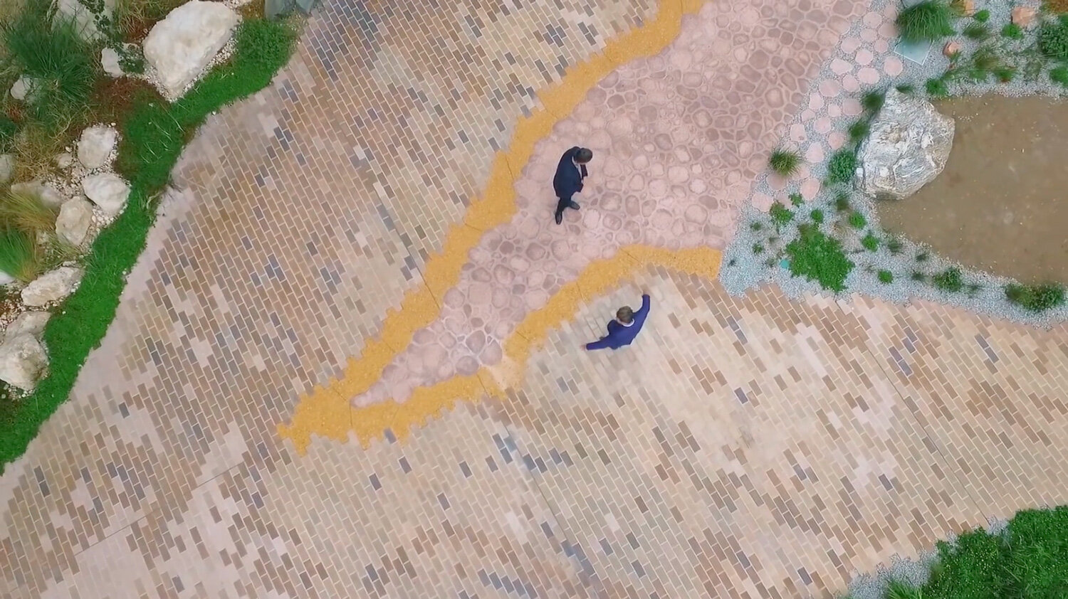
An afternoon stroll through a virtual garden

Discover the Monash Earth Sciences Garden which represents the geology and geomorphology of Victoria from the comfort of your lounge room, thanks to remote sensing, computation and smartphone technology. Video: Monash Drone Discovery Platform
The Monash Earth Sciences Garden is a fantastic educational resource for students interested in geology, physical geography and atmospheric science. Now, thanks to the Monash Drone Discovery Platform (MDDP) team and the combined power of advanced remote sensing, computation, and a humble smartphone, we can now all explore and analyse rocks in the garden from the comfort of our living rooms. Let me take you on a guided tour from the rationale to the realisation of this novel project.
Overview
The Monash Earth Sciences Garden comprises nearly 500 Victorian rock specimens, landscape features, native plants, and a weather station, and is the first of its kind in Australia and the most comprehensive worldwide. Designed to represent the geology and geomorphology of Victoria, Australia, it continues to inspire the University’s students as they wander through the garden with their lecturers each year.
Discover the Monash Earth Sciences Garden from its architectural beginnings. Video: Brickworks
As a geologist, I feel that nothing beats actually getting out into the garden and tasting (sometimes literally) the rocks. But there are certain advantages of exploring it virtually, such as helping students to take measurements of rocks including volumes and orientations even if access to the garden is not possible.
Demonstrating possibilities
Capturing ‘site-scale’ data about the geometry of the Earth’s surface can be challenging. As a student, I spent many days in the blazing sun, measuring, sketching, and photographing outcrops as best I could.
Thanks to rapid improvements in technology and the plummeting cost of sensors, computing and storage, we are now able to generate highly accurate 3D representations of the Earth’s surface using mobile sensors and static sensors. Here we demonstrate possibilities with remote sensing and photogrammetry.

An image of the Monash Earth Sciences Garden 3D point cloud. The grey points are acquired by LiDAR while the colour stretch indicates how much of the laser pulse was reflected. The columnar basalt point cloud (coloured) was acquired using photogrammetry methods. Image: Monash Drone Discovery Platform
In building a 3D model of the garden, we first turned to LiDAR remote sensing technology. By meandering through the garden with a backpack-mounted LiDAR scanner, we were able to build a point cloud (a collection of 3D data points in space) representing the geometry of the garden. This is done by measuring how long it takes for each laser pulse to return to the instrument after reflecting off its surroundings.

An image of the Monash Earth Sciences Garden 3D point cloud. Within this still image we can make out the weather station, rocks, geomorphic features and even the sign. Image: Monash Drone Discovery Platform
Next, we generated very-high-resolution point clouds for four individual rocks in the garden using photogrammetry. We acquired the data by simply capturing more than 50 photos of each outcrop with a smartphone camera. We undertook photogrammetry processing on the Advanced Drone Virtual Laboratory, a cloud-based computing environment for processing and analysing drone data developed by Monash eResearch Centre. By overlaying the LiDAR and photogrammetry datasets in 3D space, we were able to make the 3D model shown in the video.

An image of the Monash Earth Sciences Garden 3D point cloud showing grey-coloured points that we acquired by LiDAR, and a dipping rock outcrop point cloud shown in colour in the centre of the image, which was captured using photogrammetry methods. Image: Monash Drone Discovery Platform
Future possibilities
As visualisation technology continues to develop, it's not hard to imagine citizen scientists interacting with the garden with their virtual reality headset on. Perhaps they can roam around the garden, point to a rock and draw up a geological tale from a university lecturer about it. We look forward to seeing what digital form that the Monash Earth Science Garden might take next.
AUTHORS
Written by Neil Symington, Monash Uni and edited by Jo Condon, AuScope
LEARN MORE
If you want to know more about this story, or how to use this dataset as a teaching resource, please reach out to Chris Dixon. Alternatively, you can access the LiDAR data for the entire garden here
ACKNOWLEDGEMENTS
This application would not have been possible without collaboration between the Monash Drone Discovery Platform and the Monash eResearch Centre