
Data Collaborations

Image: Bertrand Bouchez via Unsplash
The future success of research depends on building good data management foundations today. By 2025, approximately 463 exabytes (one billion gigabytes) of data will be created every 24 hours. Housing, and providing neat pathways to this data is vital. To address the Australian geoscience portion of this data, AuScope is collaborating with peer NCRIS and research organisations across Australia to create new tools to manage, share and build data networks, platforms and systems.
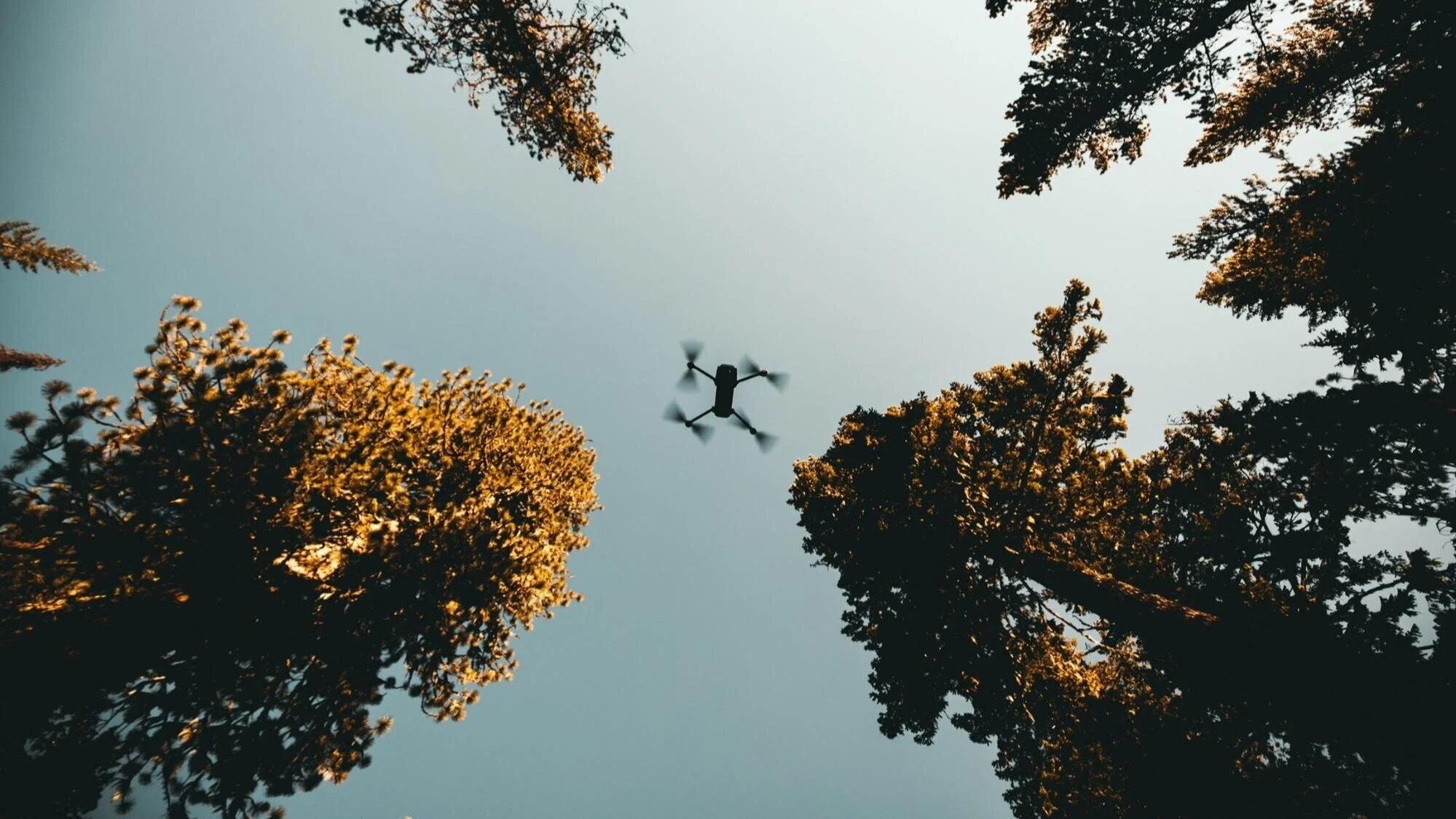
Australian Scalable Drone Cloud: Improving the way Australian researchers undertake impactful science using drones
Soundless fly through showing geoscience, environmental science, plant science, marine science and archaeology research applications in Australia that use drone technology. Learn more about the Australian Scalable Drone Cloud project and its benefits to diverse researchers across the sciences and humanities. Video: ASDC
The Australian Scalable Drone Cloud (ASDC) is a three-year national collaborative research project that aims to standardise and scale drone data capture, analysis and translation for users in academia, government and industry. ASDC is a collaboration between the Australian Research Data Commons (ARDC), the Terrestrial Ecosystem Research Network (TERN), the Australian Plant Phenomics Facility (APPF) and AuScope, together with Monash University and CSIRO.
Through the ASDC, researchers will be able to access near-real-time and societally-relevant drone-derived information. This will be achieved through best-practice, automation and intelligent decision upgrades to existing and future datasets. ASDC will deliver a nationally accessible ecosystem for drone-related research and innovation.
Project lead: Dr Steve Quenette, Monash University Timeline: 2020 — 2023
Learn more about the ASDC team’s work:
Discover the ASDC team’s high powered, scalable and open-source compute design strategy for the processing of drone data, including increased data access for diverse users.
G-Adopt: A radical new approach for integrating geoscientific data with multi-resolution, time-dependent, geodynamic models

Real-Earth problem: assimilation of 230 Ma of plate motion history from Davies et al. (2021) -- Geoscientific Model Development -- "Automating Finite Element Methods for Geodynamics via Firedrake" Image: G-Adopt
G-Adopt is a platform that fuses observation data with dynamics, physics and chemistry. It builds on a recent surge in accessible observational datasets and advances in inversion methods and techniques. The new platform being developed between 2021 – mid-2023 is based on two novel software libraries, Firedrake and Dolfin-adjoint. When combined, these libraries provide a state-of-the-art finite element platform that integrates geodata with geoscientific models.
G-Adopt was developed and is maintained by researchers from the Research School of Earth Sciences at the Australian National University. It is supported and funded by the ARDC (2020 Platforms) and AuScope.
Project Lead: Dr Rhodri Davies, ANU Timeline: 2021 — 2023
Geophysics 2030: Building a National High-Resolution Geophysics Reference Collection for 2030 Computation

Image: Australian Research Data Commons (ARDC)
Geophysics 2030 aims to create a national, high-resolution and fully integrated geophysical data collection. The project started in late 2021 and is expected to finish by mid 2023. The collection combines AuScope and TERN funded geophysical data, along with data that has been acquired by universities, industry, federal/state government agencies since the 1950s. These datasets will be linked by identifiers that cite the roles and organisations involved across all phases of generation.
Geophysics 2030 aims to lay the foundations for more rapid data processing by 2030 through focusing on next-generation scalable, data-intensive computation including Artificial Intelligence (AI)/Machine Learning (ML) and data assimilation. The data sets will be accessible online, comply with the FAIR and CARE principles and be integrated with existing government datasets at NCI. They will also be suitable for programmatic access in HPC environments.
Project Leads: Dr Ben Evans, ANU and Dr Lesley Wyborn, ANU Timeline: 2021 — 2023
ARDC Data Retention project: Maximising the advantage to Australian researchers by investing in data storage infrastructure for important national research data collections

Image: Australian Research Data Commons (ARDC)
The Data Retention project is a three-year research sector partnership to maximise the impact of Australia’s valuable research data collections. Our data retention project focuses on storing and delivering drill hole data including both the national HyLogger data (held by State and Territory Geological Surveys) as well as the Multi Scanner Core Logger petrophysical datasets. This will result in a competitive advantage to Australian researchers and maximise their impact by improving access to high-quality data collections and the stable, persistent infrastructure that makes this data possible.
Partnerships in this project will leverage contemporary research data management practices to enrich data collections with controlled and consistent structural metadata to drive the FAIR data principles, particularly the findability, accessibility and reusability of data collections.
Project lead: Dr Jens Klump, CSIRO (Mineral Resources) Timeline: 2021 — 2023
World FAIR: Raising the bar for data with global influence and impact

Image: Australian Research Data Commons (ARDC)
The WORLD FAIR project aims to assess global FAIR data policy and practice. CODATA and RDA will work with a set of case studies to implement and test FAIR recommendations. The outcome will be a set of recommendations and a framework for FAIR assessment in each discipline or cross-disciplinary research area investigated.
Case studies will be from leading organisations in a range of disciplines and cross-disciplinary research areas. Each case study will perform a lightweight benchmarking and information gathering exercise through preparing a FAIR implementation profile. This will be followed by a mapping of current best practices, emerging solutions and initiatives in their discipline and develop, pilot and possibly deploy interoperability standards and guidelines. Finally, the reports and recommendations from each case study will be synthesised and used to develop discipline-specific frameworks for FAIR assessment and benchmarks.
AuScope will lead the geochemistry component of this program on behalf of, and in collaboration with, One Geochemistry and the global geochemistry community.

CODATA is delighted to announce the launch of a major new project: ‘WorldFAIR: Global cooperation on FAIR data policy and practice’, funded by the European Commission through its Horizon Europe Framework Programme.
Project lead: Dr Simon Hodson, CoDATA; AuScope Component Leader: TBA Timeline: 2022 — 2024
News


LEARN MORE
If you would like to know more
about AuScope’s contribution to
these collaborative projects, please contact Dr Rebecca Farrington,
AuScope Director of Research Data Systems, or Dr Tim Rawling, AuScope CEO and Director.
If you would like to know about one of these projects in its entirety, please reach out to the contact listed on this page.
UPCOMING WORKSHOP
Geophysical Research Data Processing and Modelling for 2030 Computation workshop.
WHEN: 21 - 23 November, 2023.
WHERE: The Australian National University, Canberra, Australia.
Hosted by: National Computational Infrastructure (NCI).