
Elevating Australia’s drone enabled geoscience
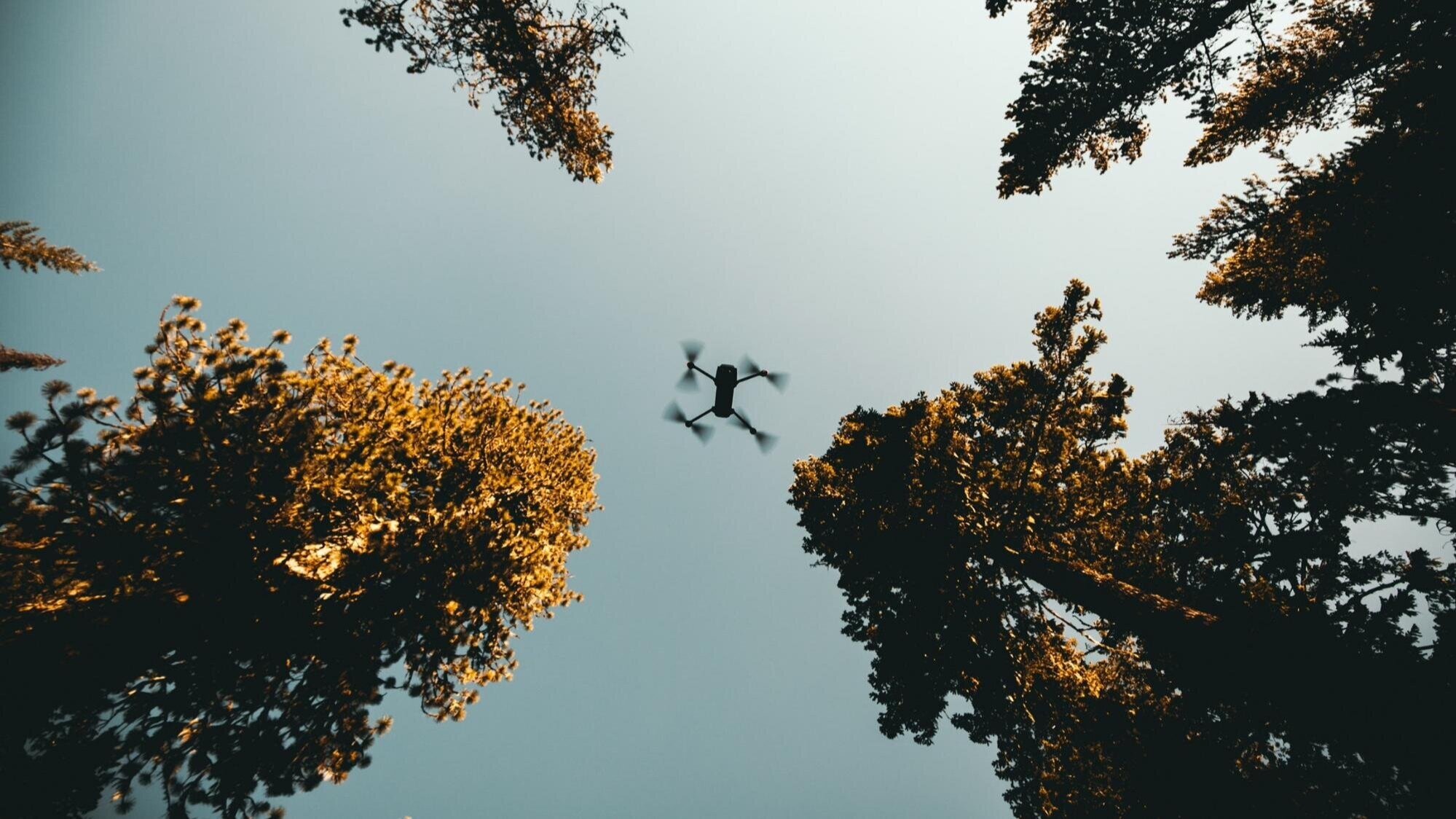
Drones, and swarms of them, can help geoscience better respond to a number of societal and environmental challenges. The Australian Scalable Drone Cloud (ASDP) project will make sure that geoscientists around the nationa can do this effectively together with well-managed data and workflows. Image: Kal Visuals
AuScope is excited to work alongside other research co-investors in the Australian Scalable Drone Cloud (ASDC), one of ten three year projects funded by the Australian Research Data Commons (ARDC).
Starting in early 2020 the ASDC aims to standardise how earth and environmental scientists collect and analyse drone-collected data by establishing best-practices and FAIR data principles as informed by many nationally significant fields of research.
The ASDC is a partnership of key National Collaborative Research Infrastructure (NCRIS) capabilities including the Australian Plant Phenomics Facility (APPF), Terrestrial Ecosystem Research Network (TERN), Auscope, the Monash Drones Discovery Platform, and CSIRO.
This community was brought together by the Monash eResearch Centre (MeRC), leveraging an established history with AuScope in delivering Underworld code and more recently, the pilot Drones Virtual Laboratory.
The pioneering AuScope-led infrastructure has helped to enable the Monash Drones Discovery Platform to forge a disruptive technology pathway through the integration of data analytics and sensing technology. Unique interdisciplinary relationships between science, engineering, information technology, and humanities disciplines further this capacity.
Monash University brings drones together with advanced sensing technologies and smart analytics.
Director of the Monash Drone Discovery Platform Dr Rohan Clarke states that:
“Drone-mounted sensor capabilities have a transformational role to play in the geosciences, yet standardised approaches to capture and process complex data streams remain elusive. Our partnership with Auscope and others is an exciting opportunity to address these needs for the geoscience community.”
Deputy Director of Merc and Chair of the ASDC Steering Committee, Dr Steve Quenette states the goal of the ASDC is to repeat the digital transformation for all the partners:
“The ASDC will transform their already substantial drone data processing capabilities towards best-practice, automation and intelligent decision making, and in doing so will establish a nationally accessible ecosystem for drone-related research & innovation.”
It will enable accurate and standardised data processing across the total lifecycle of drone research programs, from instrument capture to the creation of knowledge in geoscience and other natural sciences.
It will also allow AuScope to develop a community co-designed use case to ensure the ecosystem is robust. Drones provide sensing capabilities that address the critical scale-gap between ground and satellite-based observations, and offer a competitive advantage for researchers by delivering near real-time and societally-relevant information.
The ASDC will have a major impact on the success of drone technology in research and development across local, state and national levels. The ability to standardise industry, research and public sector data collection will create a stronger and more reliable tool for the geoscientific community and the wider public.
AUTHORS
Philomena Manifold
and Dr Steve Quenette
LEARN MORE
Dr Steve Quenette
Dr Rohan Clarke
Monash University