
Tracking land displacement from the sky
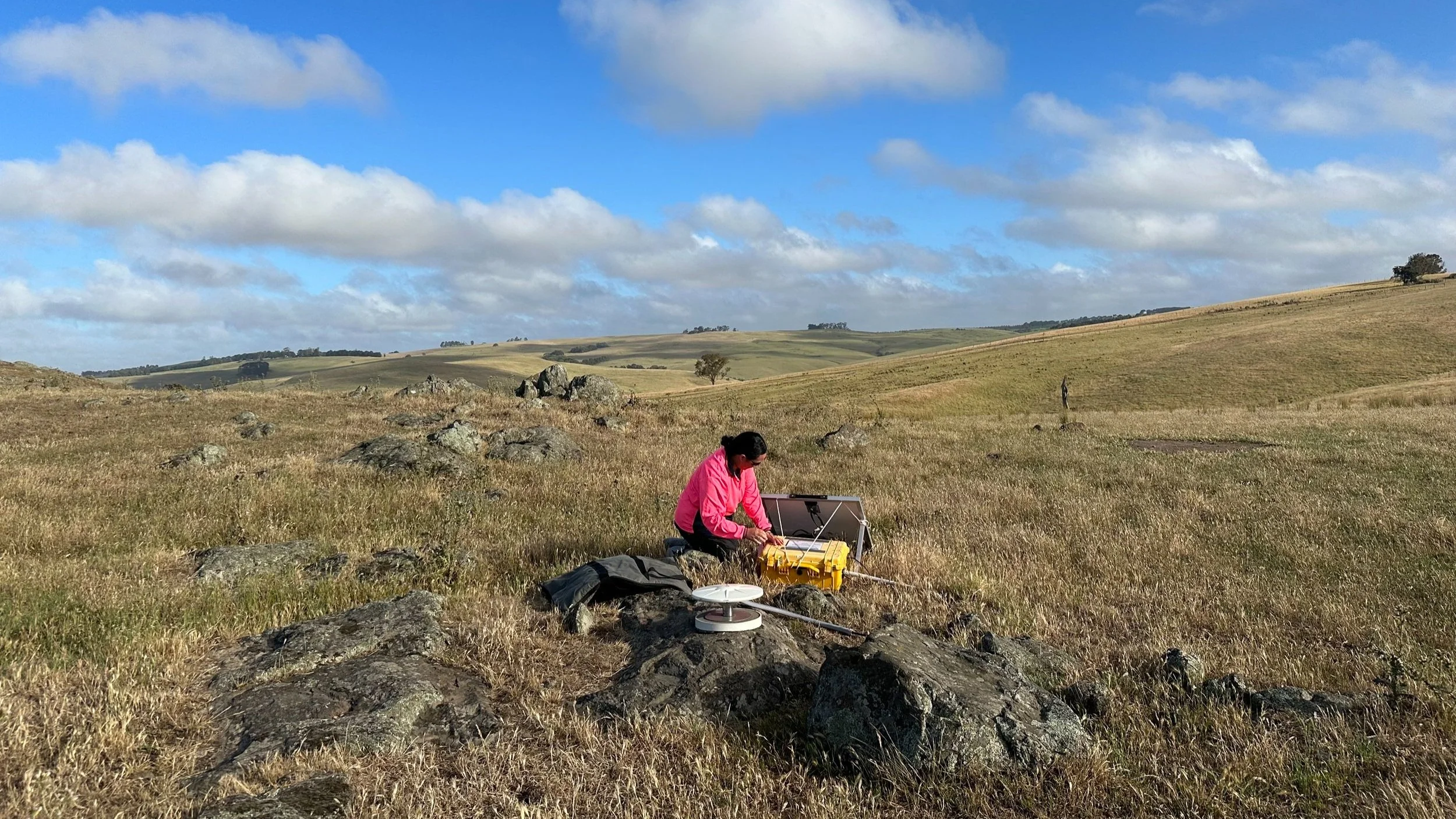
Isabel Pacheco from Surveyor-General Victoria setting up GNSS survey equipment to measure land displacement across the Otway and Gippsland regions of Victoria. Image: Nuddin Tengku
Surveyor-General Victoria (SGV) has successfully completed a transformative high-precision Global Navigation Satellite Systems (GNSS) monitoring survey across Victoria's Otway and Gippsland regions. This NCRIS enabled survey, conducted once every four years, has captured land displacement in new detail.
Positions marked
SGV has utilised AuScope’s Australian Geophysical Observing System (AGOS) GNSS field equipment to measure the position of 50 survey marks in what is one of the largest concurrent GNSS surveys conducted in Australia.
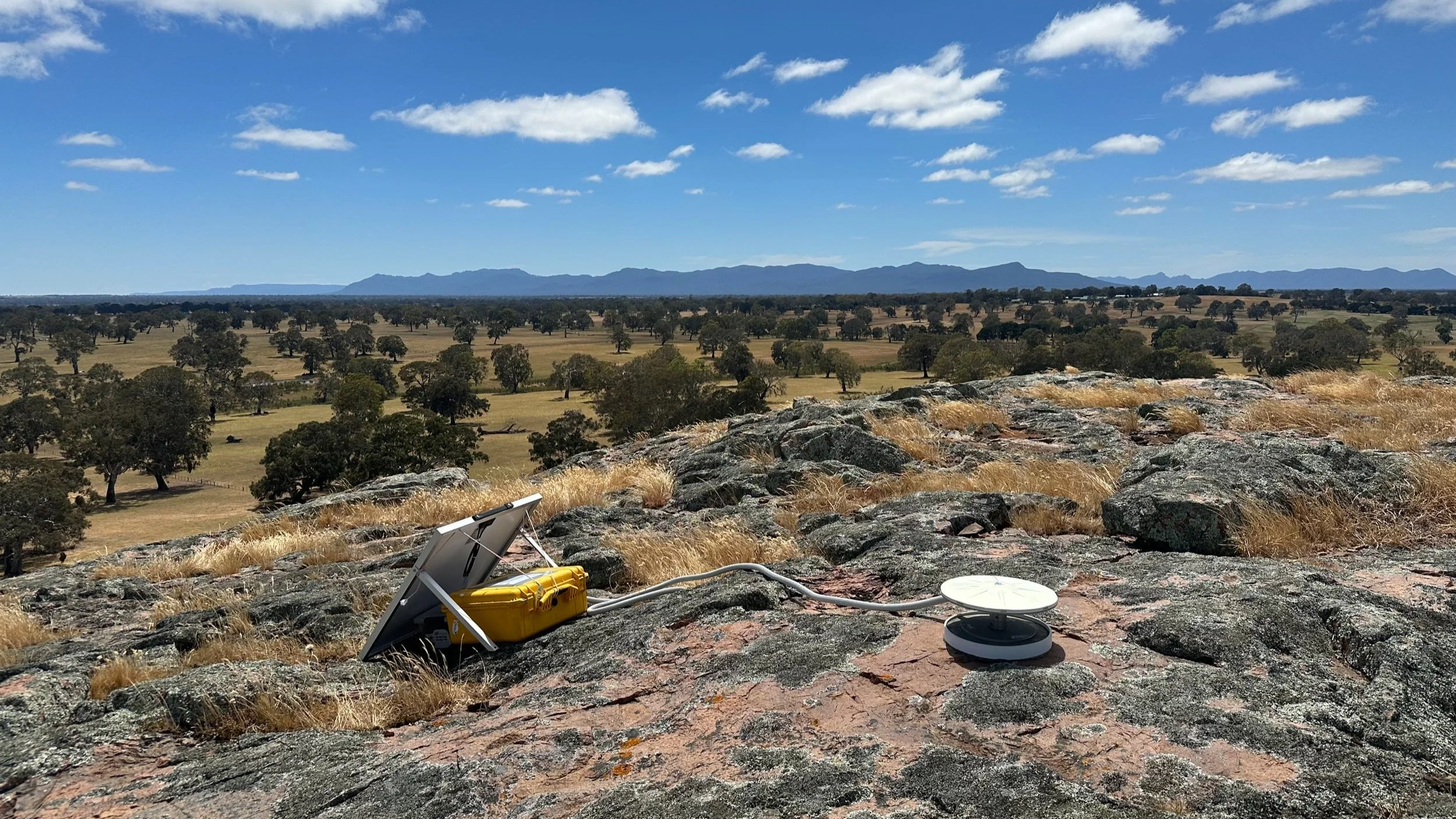
AGOS GNSS field unit setup at Mt Cavendish Gunditjmara country to collect satellite observations for seven days to compute a precise position for the survey mark. Image: Nuddin Tengku
Using a network of stable survey marks, SGV collected seven days of continuous GNSS satellite observations to calculate the exact position of each survey mark.
Four-yearly repeat surveys over the last 12 years have enabled SGV to monitor the movement of these sites to observe changes in the landscape, providing valuable insights into seismic activity and land movements.
AuScope was critical to establishing the network of 50 stable survey marks in 2010. In addition, the AuScope-funded AGOS pool of GNSS field equipment enabled the four-yearly repeat observation of the survey marks and analysis of the magnitude and extent of land displacement across the region over time.
Continuous monitoring for understanding
Each survey dataset, 2011, 2015, 2019 and 2023, is stored at SGV and Geoscience Australia and can be accessed on request. This ongoing GNSS monitoring is enhancing our understanding of land displacement from both natural and human forces.
The observed displacements will support future space-based deformation monitoring and modelling and improve precise positioning applications and alignment of spatial information.
Surveyor-General Victoria is continuing the development of a comprehensive dataset that informs the current understanding of land dynamics and serves as a foundation for future studies.
STORY IN A NUTSHELL
NCRIS enabled GNSS survey measures land displacement across the Otway and Gippsland regions of Victoria.
AUTHORS
Alex Woods, Surveyor-General Victoria
Philomena Manifold, AuScope
FURTHER INFORMATION
National Collaborative Research Infrastructure Strategy (NCRIS)
